Report a path or access problem
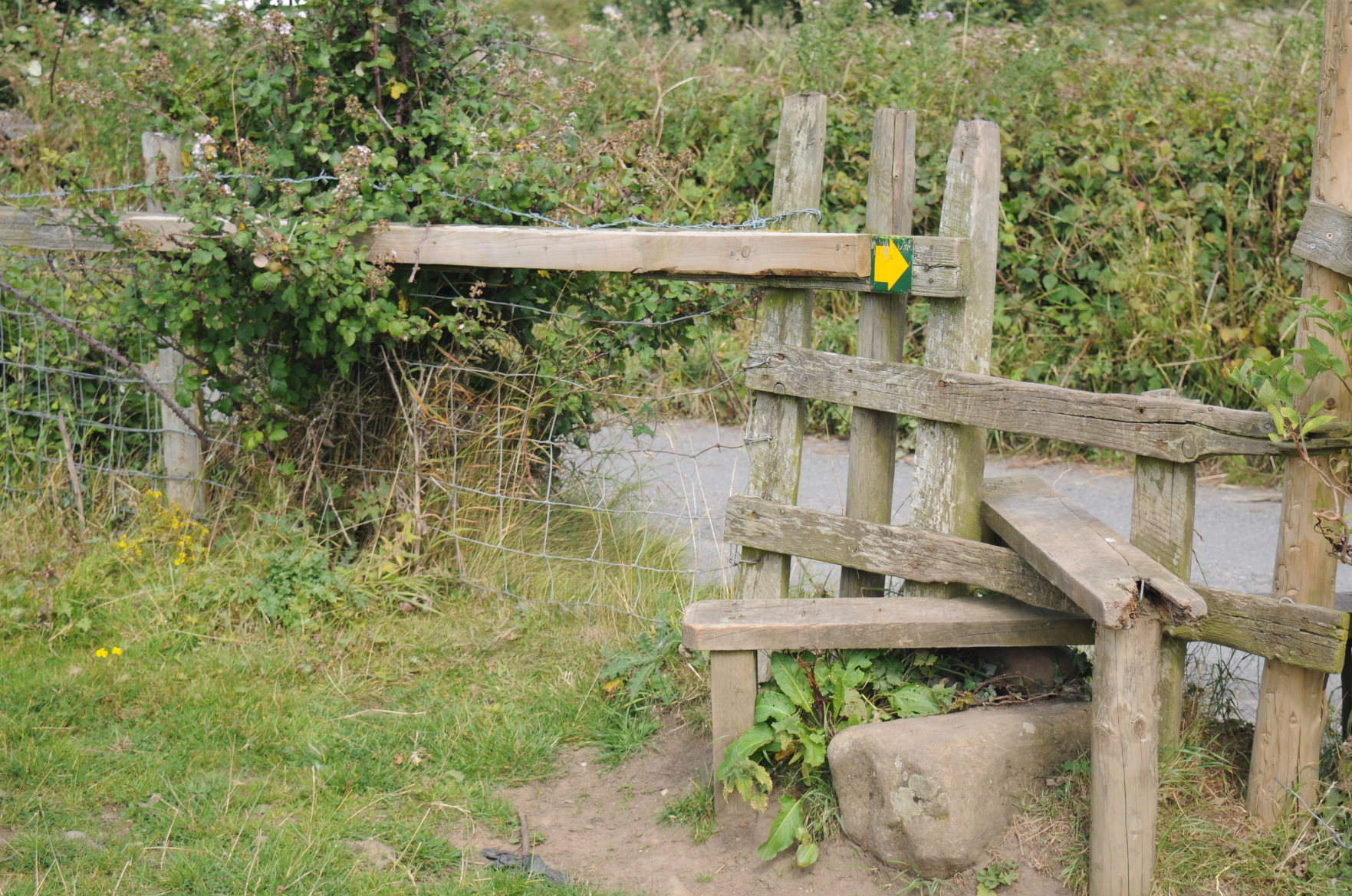
Have you been out walking in Eryri recently and encountered a broken stile, overgrown path, a locked gate or prevented from entering open access land?
As part of their day-to-day duties, our Wardens look out for such problems and work with the estate staff, volunteers, land managers and local councils to resolve them.
You can help our Wardens by notifying of any problems that you encounter so that Area Wardens can investigate any problems and rectify them.
How to report a problem?
If you have encountered a problem on a Public Rights of Way (PRoW), or have a general enquiry regarding the PRoW network and access in Eryri, please let us know using one of the methods below:
- Logging the problem/your enquiry on our interactive map
- Calling us on 01766 770 274 during office hours
- Emailing us on hawliau.tramwy@eryri.llyw.cymru
Reporting a problem on the Right of Way Digital Map
Getting started: Click on the link and a map of the Park will open in your browser. You must register to create an account (top right). After logging in Select ‘New Issue’ (left hand side)and use the navigation tools to locate the problem on the footpath map and double click on the location. Click on ‘Issue Details’ and enter the relevant data. Once all relevant data has been entered click ‘Submit’.
Register and access the map here
Important information about the Right of Way map: The Right of Way map displays the Public Right of Way (PRoW) for information purposes only. PRoW are recorded on Definitive Maps and Statements (a legal record of PRoW), which are held by local councils. Each PRoW is classified according to who is allowed to use it and the public’s rights along it. The precise line of a PRoW can only be determined by reference to the Definitive Map (1:10560 scales). The RoW paths marked on the digital RoW map are based on the Definitive Map. Eryri National Park Authority cannot accept responsibility for any error or inaccuracy which may arise from the digitisation of the PRoW from the Definitive Map.
You will need to register your details on the system so that we can contact you should we require further information. By registering you will not need to provide your details again if you want to report problems in the future. Providing your contact details will facilitate a smoother resolution of any problems, but you can also opt not to receive further correspondence after registering a problem.
We will never share your information and data with any third parties and it will be held in accordance with the Data Protection Act. Please note that by registering you are agreeing to the Terms and Conditions for the Eryri National Park Authority website and online mapping. Please familiarise yourself with the Terms and Conditions | Snowdonia National Park (gov.wales).
If you opted to be kept informed about the issue via email, you will receive an instant acknowledgement. You will receive a further email within 10 working days informing you of the outcome of an assessment. If action is required, the appropriate Area Warden will prioritise the necessary work and you will receive an email to confirm that the issue has been resolved and what steps were taken. Some issues may be complex and require collaboration between partners and stakeholders such as land managers and local highways authority. This may lead to a delay in resolving the issue.
Snowdonia National Park Authority is the Authority for open access land within the boundary of the Park. The designated highways authority is responsible for the Public Rights of Way (HTC) network – Gwynedd Council and Conwy Council. However, as the authorities are working together, any complaints received by us will be referred to the attention of the relevant authority and/or landowners.


