The landscape of Eryri was formed by staggeringly strong forces of nature over an almost inconceivable period of time.
Eryri National Park’s geology is an intricate detective story of volcanic eruptions, tectonic movements, and glacial activity.
Volcanoes, glaciers, and tectonic movements are all responsible for forming the landscape of Eryri.
The Earth’s outer crust is divided into vast pieces of floating rock known as tectonic plates. These plates sit on a bed of molten rock, meaning that they are free to shift and slide in different directions.
Some of the Earth’s major tectonic plates range from 43 million square kilometres to a staggering 103 million square kilometres.
As these plates shift and slide against each other, their boundaries crumple, crush and buckle under immense pressure which can lead to earthquakes, the formation of seas and the formation of mountains.
The crumpling and crushing of the Earth’s tectonic plates expose the molten rock underneath, creating volcanoes and volcanic eruptions.
Volcanic eruptions can form mountains. As the molten rock erupts onto the Earth’s surface, it cools and hardens. Repeated eruptions lead to layers of hardened volcanic rock. Clouds of ash ejected from volcanoes also settles on the Earth’s surface which in time is compacted into rock. Fossils can be found within these sedimentary rock layers. Eruptions like these, combined with the force of colliding tectonic plates warping and folding these layers of rock, have led to the formation of some of Eryri’s most famous mountains, for instance, Yr Wyddfa. However, glacial activity also played an extensive part in sculpting its famous pyramid-like peak.
Geologists often describe glaciers as ‘large rivers of ice’. They are made of compacted snow and are pulled downhill over long periods of time by gravitational forces.
Glaciers are responsible for a large part of how the landscape of Snowdonia looks today.
The movement of glaciers pull pieces of rock from the surface underneath. As the glacier carries more rocks, it almost becomes like sandpaper, scraping and sculpting the terrain beneath.
Glaciers slowly erode the landscape over thousands of years, eventually forming valleys.
As glaciers move and thaw they also deposit pieces of rock that has become frozen within them. These are the moraines and the scattered boulders that are characteristic of Snowdonia’s mountainous landscape.
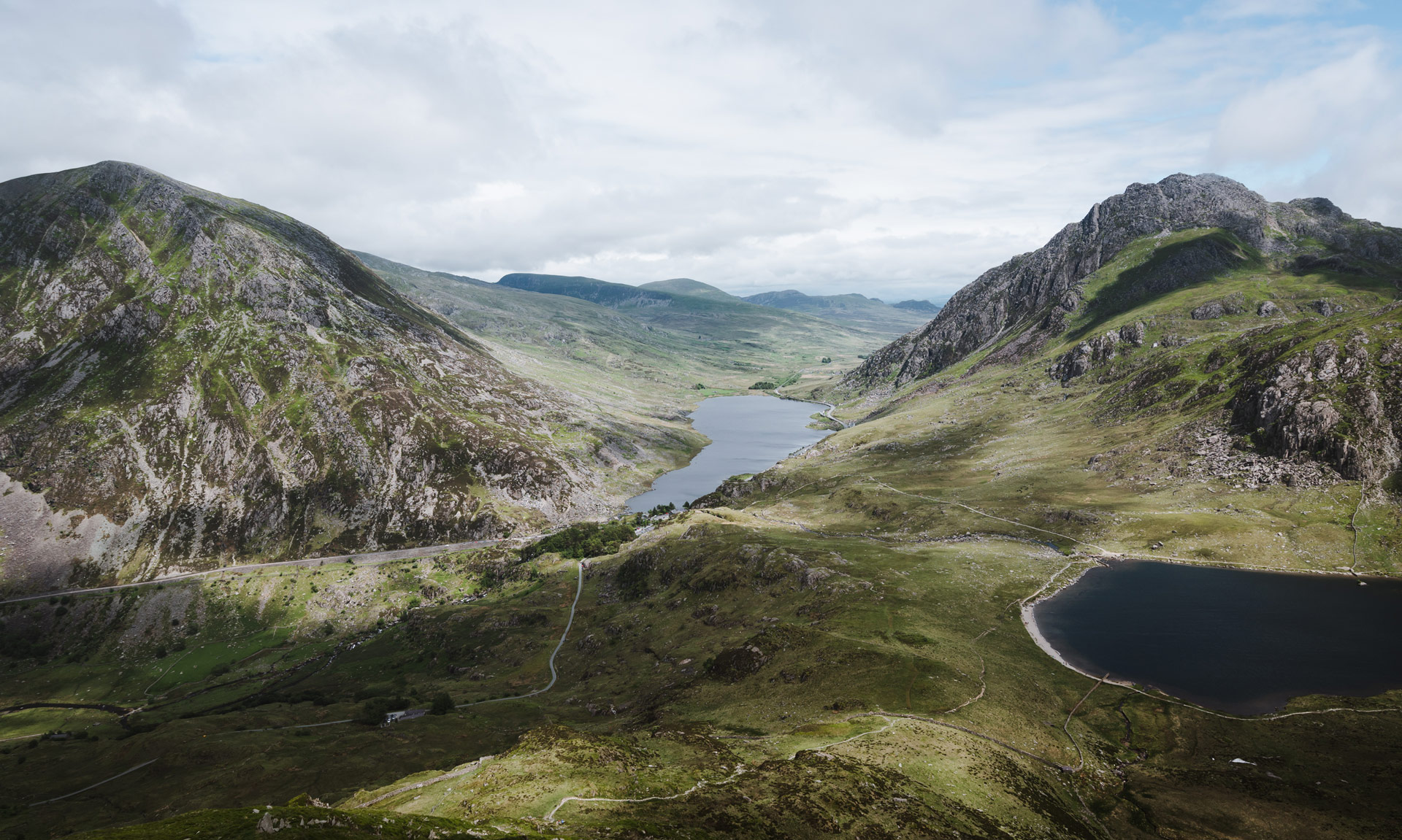
The valleys of Dyffryn Ogwen, Nant Gwynant and Nant Peris are all U-shaped valleys distinctive to places of glacial activity.


Cwm Idwal: An area of outstanding geological activity
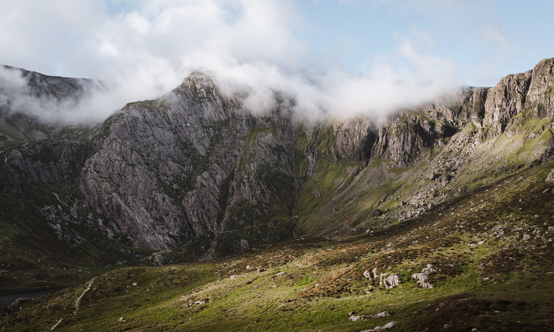
The exposed rocks in Cwm Idwal suggest that volcanic activity played a large part in forming the distinctive craggy outline of one of Eryri’s defining areas.
We can see evidence of this volcanic activity by studying the seashell sediment embedded in the rock surfaces scattered around the imposing cliffs. It suggests an interaction between explosive volcanic eruptions and ancient oceans.
Glacial activity formed the incredible bowl-shaped landscape of Cwm Idwal millions of years ago.
The glacier at Cwm Idwal was part of a larger glacial system that created Dyffryn Ogwen. Valleys formed from these smaller glaciers are known as ‘hanging valleys’. Cwm Idwal is one of the UK’s best examples of a hanging glacial valley.
Eryri’s rich geological history starts over 625 million years ago.
Hundreds of millions of years ago, Wales wasn’t the distinctive shape we are familiar with today. It was a series of volcanic islands scattered around the south pole.
Over a period of 110 million years, tectonic activity led to these islands merging to create a small continent that geologists call Avalonia.
The Cambrian Period marks the beginning of The Palaeozoic Era. This era is split into six periods which includes the Cambrian and Ordovician periods. The rocks of Snowdonia were formed during these periods.
Avalonia, the small landmass which would eventually become Wales, was flooded with seawater forming a marine basin known as the Welsh Basin.
A large volume of marine sediments was deposited in the area during this period.
Sedimentary rocks make up a large part of the strata of Eryri. These rocks form with the build-up of sediment at the Earth’s surface.
However, during the Ordovician Period, volcanic activity started playing its part in the rock formation of Eryri.
Vast amounts of lava and ash erupted from underwater volcanoes, sometimes leading to the formations of islands.
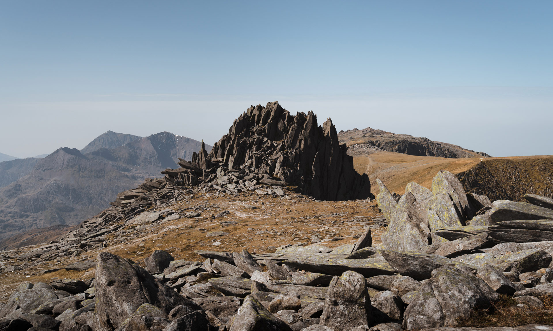
Volcanic or ‘igneous’ rock tends to be much harder than sedimentary rocks. Most of the craggier areas of Eryri are made of igneous rock.
Although there is little evidence of Silurian rock in Eryri, it is highly likely that they were once here since it is present in neighbouring areas of Wales. Long periods of erosion are probably responsible for the fact that we do not encounter Silurian rock in Eryri.
The Silurian Period also marks the end of the Welsh Basin. Eryri has probably remained unflooded since that time.
During the Devonian Period, Avalonia joined with Laurentia, now known as North America, Scotland and Northern Ireland.
The tectonic activity during this time led to immense stresses that led to the ‘folding’ of rocks in north Wales. Examples of folded rock can be seen in Cwm Idwal.
The tectonic activity also leads to the recrystallization of mineral grains, forming Eryri’s famous Welsh slate.
The Quaternary Period marks the beginning of the glacier era.
Glaciers are responsible for sculpting some of the iconic landscapes we are familiar with today.
Glacial activity formed the valleys of Dyffryn Ogwen, Nant Peris and Nant Gwynant.


