

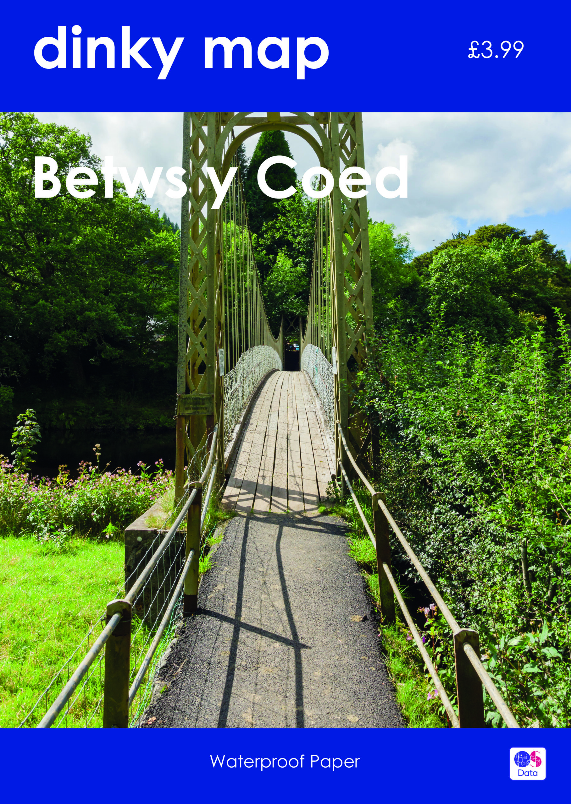

Dinky Map – Betws-y-Coed
£3.99
This Dinky Map has Betws y Coed as its central point, mapping the areas to the south and north west.
Pocket-sized waterproof map which uses the OS Explorer Map background.
Please note that we can only deliver to addresses within the UK.
Availability:
In stock
Quantity:
Dinky Map – Betws-y-Coed
£3.99
This Dinky Map has Betws y Coed as its central point, mapping the areas to the south and north west.