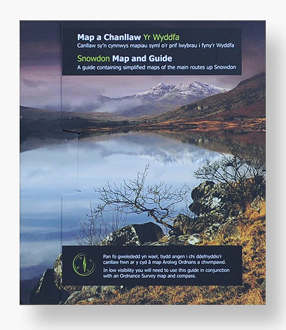


Yr Wyddfa (Snowdon) Map and Guide
£4.99
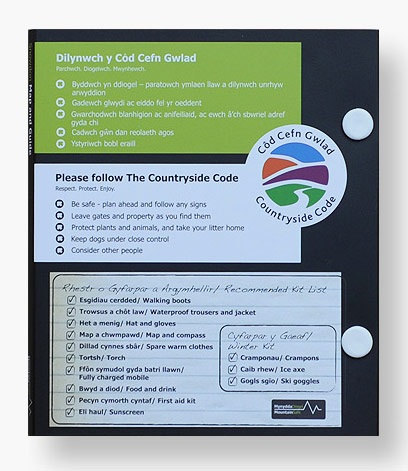
Developed by the National Park as part of the mountain safe project this pocket-sized waterproof guide provides simplified maps of the six main routes to the summit of Yr Wyddfa.
Dimensions: 13 x 0.7 x 15 cm.
Please note that we can only deliver to addresses within the UK.
Availability:
In stock
Quantity:
Yr Wyddfa (Snowdon) Map and Guide
£4.99
Developed by the National Park as part of the mountain safe project this pocket-sized waterproof guide provides simplified maps of the six main routes to the summit of Snowdon.


