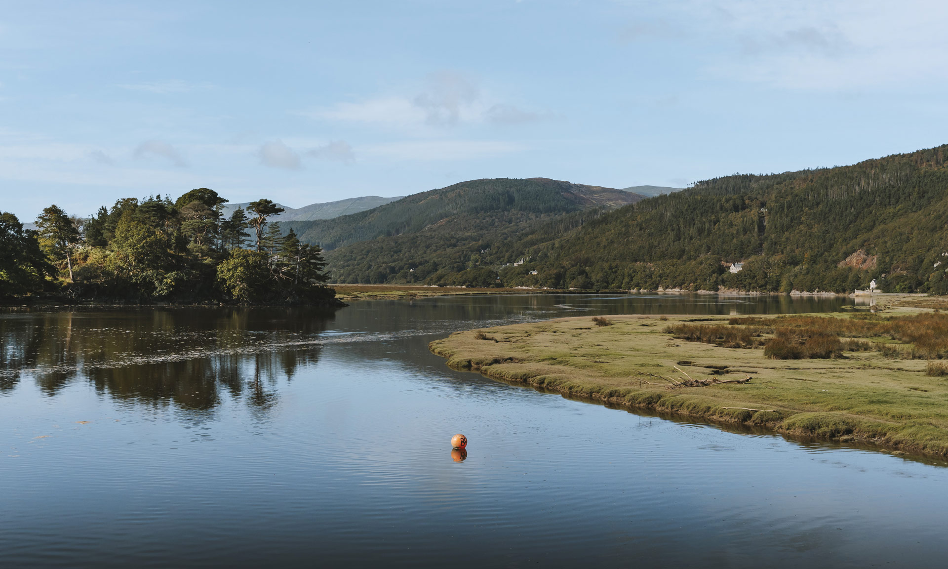


Yr Wyddfa is not only Wales’ highest summit, but also the busiest. Whether you’re planning to hike to the summit or explore the surrounding area, planning how to get to Yr Wyddfa is essential.
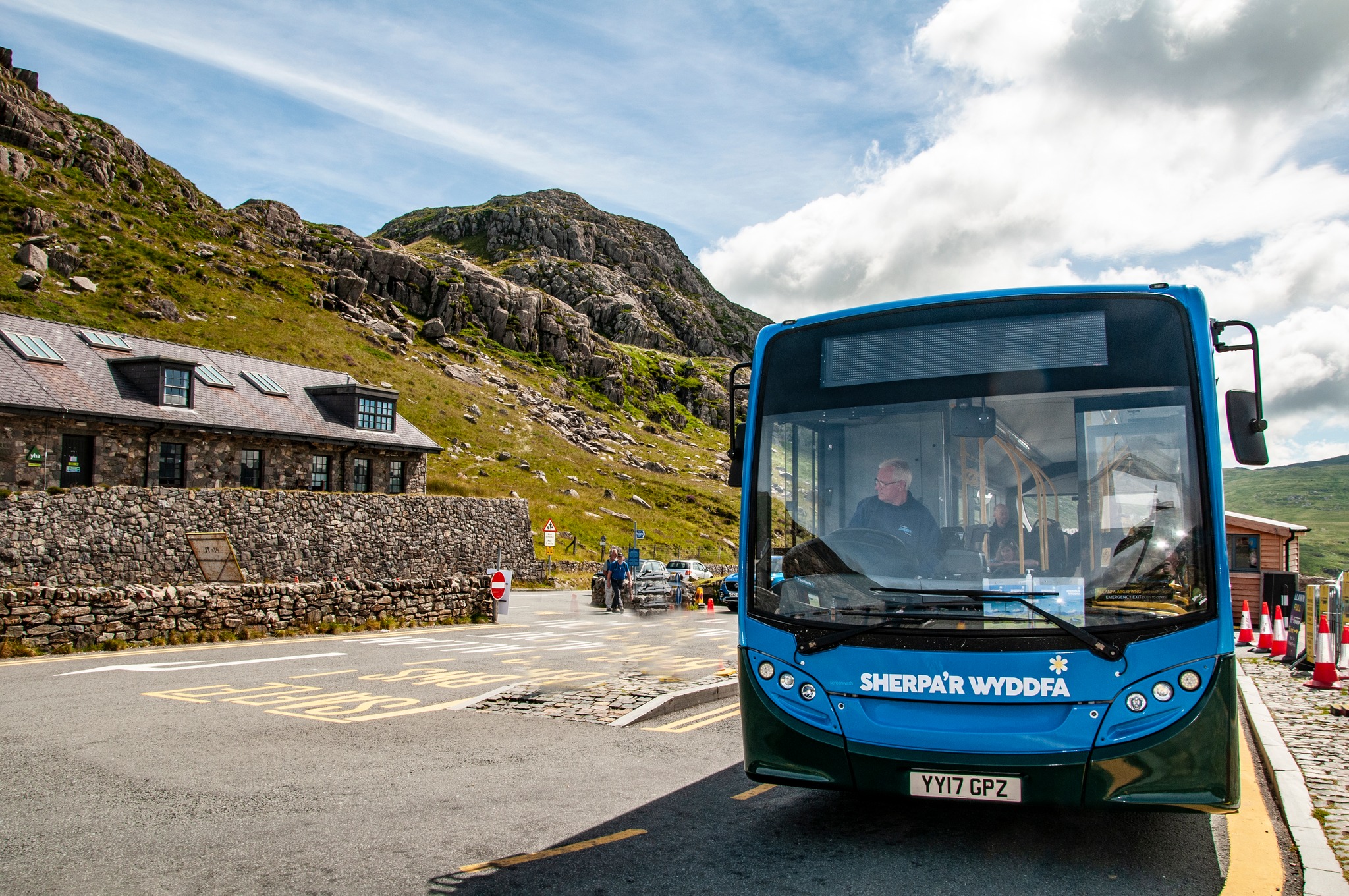
Over 600,000 people reach the iconic peak of Yr Wyddfa each year either on foot or by train. Luckily, there are now more options than ever to get to the Yr Wyddfa area including the Sherpa’r Wyddfa bus service.
Before setting off
You should also make sure that you have familiarised yourself with all the necessary information on the National Park Authority’s Climbing Yr Wyddfa page including information on what to expect, preparing for your hike and the best and most efficient ways of getting to your route.
Getting to Yr Wyddfa
The routes to Yr Wyddfa’s summit all start from small villages or areas with extremely limited capacity for parking. The popularity of Yr Wyddfa, especially during the busy spring and summer seasons, can often cause parking and traffic problems, affecting the local communities. This is why it is recommended to use the Sherpa’r Wyddfa bus service to get to the Yr Wyddfa area.
How you use the Sherpa’r Wyddfa service depends mostly on which route you’re intending to take to the summit. There are six routes routes to the summit of Yr Wyddfa—each with their unique challenges and attributes. You should undoubtedly make sure that you’ve researched which route is best to take before you venture to the summit.
The Traveline Cymru website can be a useful tool to find bus times and plan your journey.
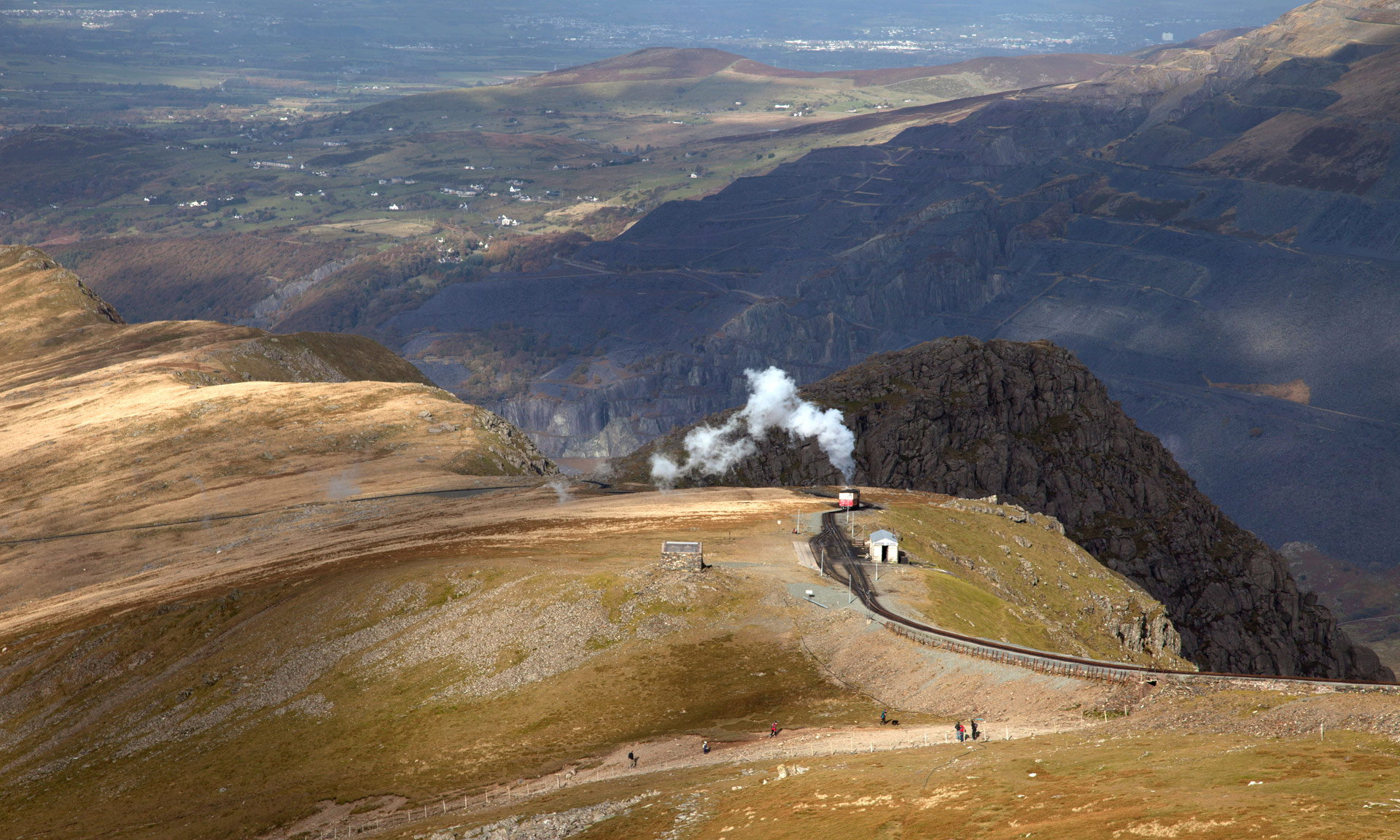
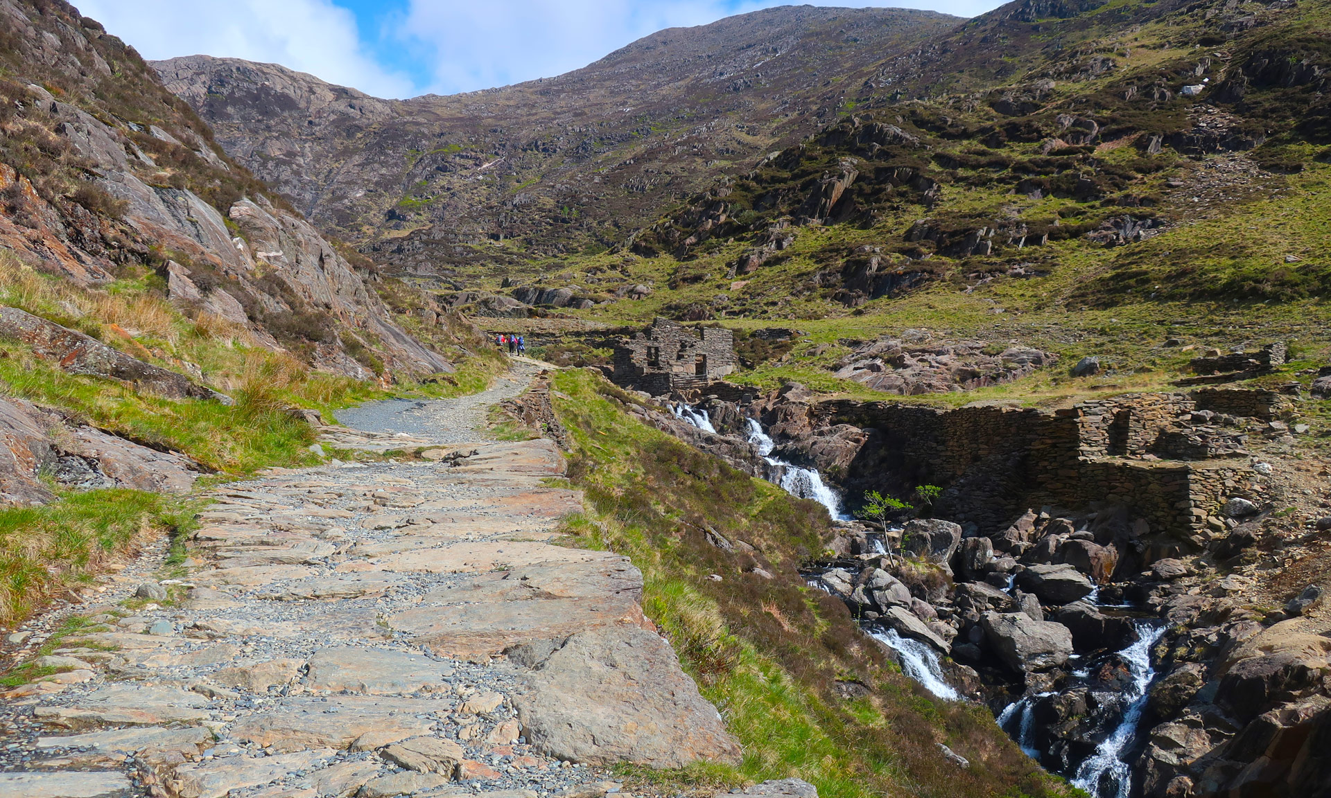
Llanberis Path
The Llanberis Path starts in the village of Llanberis and is the most popular route to Yr Wyddfa’s summit. It is also one of the routes with the best public transport access. The Llanberis Path is a short, 10-minute walk from the Llanberis Interchange bus stop.
Getting to the Llanberis Interchange bus stop is easier than ever with the Sherpa’r Wyddfa bus service. The service offers direct links to the bus stop from areas such as Bangor, Caernarfon and Betws y Coed.
Sherpa’r Wyddfa bus service
Journey time: Approximately 50 minutes
Bangor Bus Stop on Google Maps
Parking at Bangor
Bangor has numerous car parks to choose from
Sherpa’r Wyddfa bus service
Journey time: Approximately 25 minutes
Caernarfon Bus Stop on Google Maps
Parking at Caernarfon
Penllyn Multi Storey Car Park
Sherpa’r Wyddfa Bus Service
Journey time: Approximately 40 minutes
Betws y Coed Bus Stop on Google Maps
Parking at Betws y Coed
Cae Llan Car Park
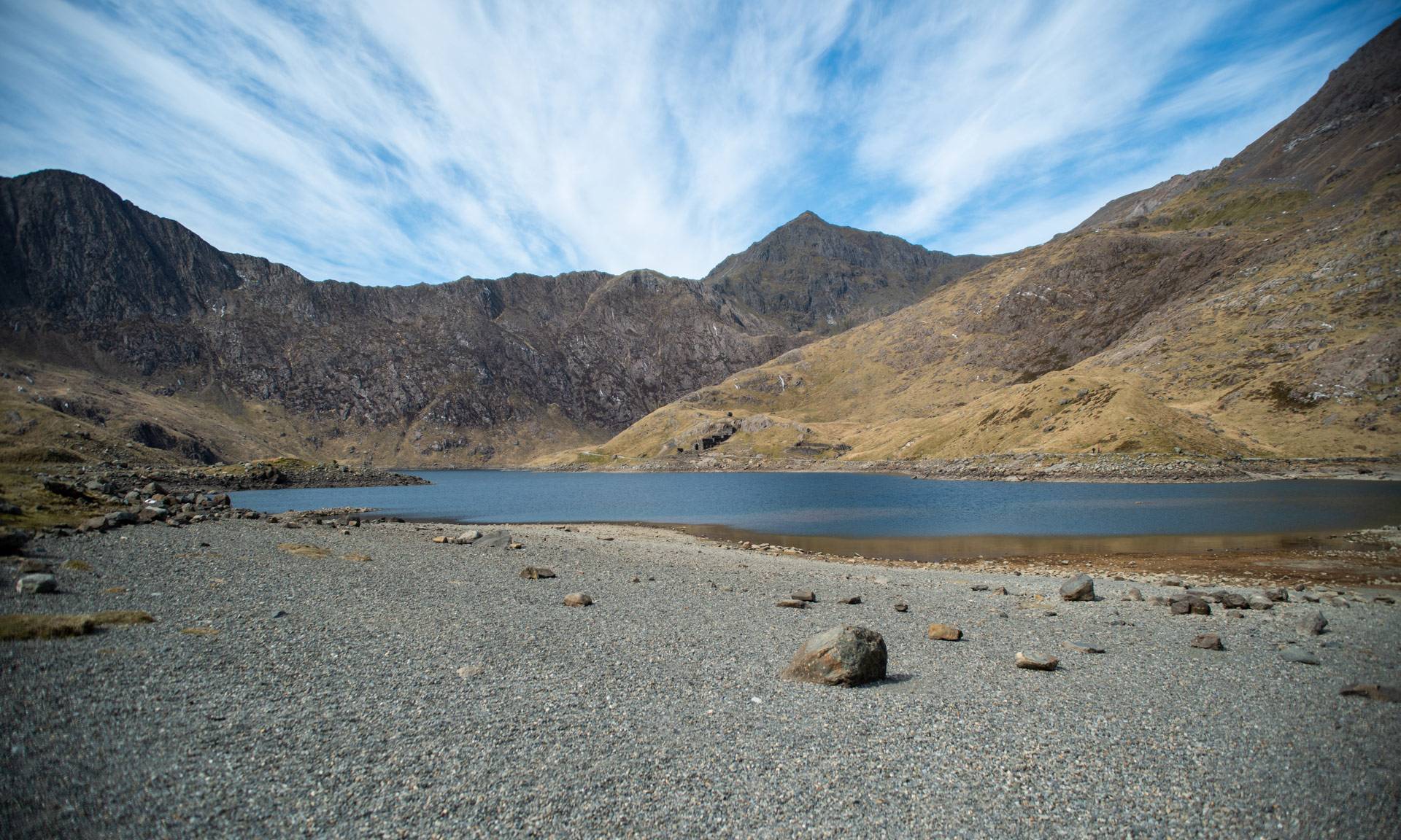
Miners’ and Pyg Tracks, Pen y Pass
Both the Miners’ and Pyg Tracks start from Pen y Pass. Reaching Pen y Pass on the Sherpa’r Wyddfa bus service is incredibly easy with direct links from Nant Peris and Llanberis or even further afield at Bangor, Caernarfon and Betws y Coed.
Sherpa’r Wyddfa bus service
Journey time: Approximately 15 minutes
Nant Peris Bus Stop on Google Maps
Parking at Nant Peris
Nant Peris Car Park
Sherpa’r Wyddfa bus service
Journey time: Approximately 20 minutes
Llanberis Bus Stop on Google Maps
Parking at Llanberis
Dolbadarn/Padarn Park Car Park
Sherpa’r Wyddfa bus service
Journey time: Approximately 20 minutes
Betws y Coed Bus Stop on Google Maps
Parking at Betws y Coed
Cae Llan Car Park
Sherpa’r Wyddfa bus service
Journey time: Approximately 45 minutes
Caernarfon Bus Stop on Google Maps
Parking at Caernarfon
Penllyn Multi Storey Car Park
Watkin Path
If you’re considering hiking the Watkin Path, you should undoubtedly use the Sherpa’r Wyddfa bus service to get there. Parking at Nant Gwynant, where the Watkin Path starts, is extremely limited. The car park is often full by 7:30am leading to congestion and causing significant problems in the local community of Nant Gwynant.
Thankfully, using the Sherpa’r Wyddfa bus service is a fast and efficient way of getting to the Watkin Path trailhead.
Sherpa’r Wyddfa bus service
Journey time: Approximately 35 minutes
Porthmadog Bus Stop on Google Maps
Parking at Porthmadog
Llyn Bach Car Park or Iard-yr-Orsaf Car Park
Llyn Bach Car Park on Google Maps
Iard-yr-Orsaf Car Park on Google Maps
Sherpa’r Wyddfa bus service
Change bus services at Beddgelert
Journey time: Approximately 45 minutes
Caernarfon Bus Stop on Google Maps
Parking at Caernarfon
Penllyn Multi Storey Car Park
Sherpa’r Wyddfa bus service
Change from S1 service to S4 service at Pen y Pass
Journey time: Approximately 50 minutes
Betws y Coed Bus Stop on Google Maps
Parking at Betws y Coed
Cae Llan Car Park
Sherpa’r Wyddfa bus service
Change from S2 service to S4 service at Pen y Pass
Journey time: Approximately 2 hours
Bangor Bus Stop on Google Maps
Parking at Bangor
Bangor has numerous car parks to choose from
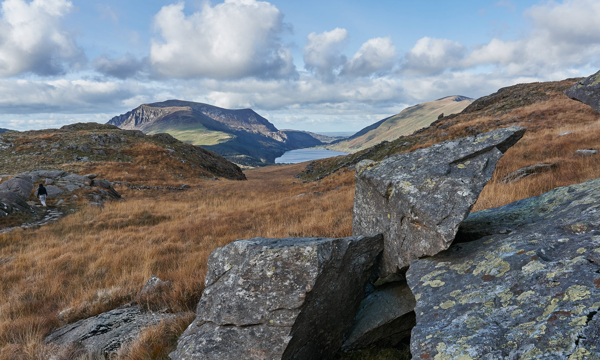
Rhyd Ddu Path and Snowdon Ranger
Both the Rhyd Ddu Path and Snowdon Ranger routes ascend the western slopes of Yr Wyddfa. The Rhyd Ddu Path starts from the village of Rhyd Ddu and the Snowdon Ranger starts from the shores of Llyn Cwellyn.
The best direct link to both paths is from Caernarfon. However, there are good links from Porthmadog as well.
For Snowdon Ranger, stop at Snowdon Ranger YHA
For Rhyd Ddu Path, stop at Rhyd Ddu Station
Sherpa’r Wyddfa bus service
Journey time: Approximately 20-25 minutes
Caernarfon Bus Stop on Google Maps
Parking at Caernarfon
Penllyn Multi Storey Car Park
For Snowdon Ranger, stop at Snowdon Ranger YHA
For Rhyd Ddu Path, stop at Rhyd Ddu Station
Sherpa’r Wyddfa bus service
Change from S4 service to S3 service at Beddgelert
Journey time: Approximately 35 minutes
Porthmadog Bus Stop on Google Maps
Parking at Porthmadog
Llyn Bach Car Park or Iard-yr-Orsaf Car Park
Llyn Bach Car Park on Google Maps
Iard-yr-Orsaf Car Park on Google Maps