

Llwybrau’r Wyddfa Walks app has an array of features to guide to the summit of Yr Wyddfa.
A guide to climbing Yr Wyddfa—in your pocket
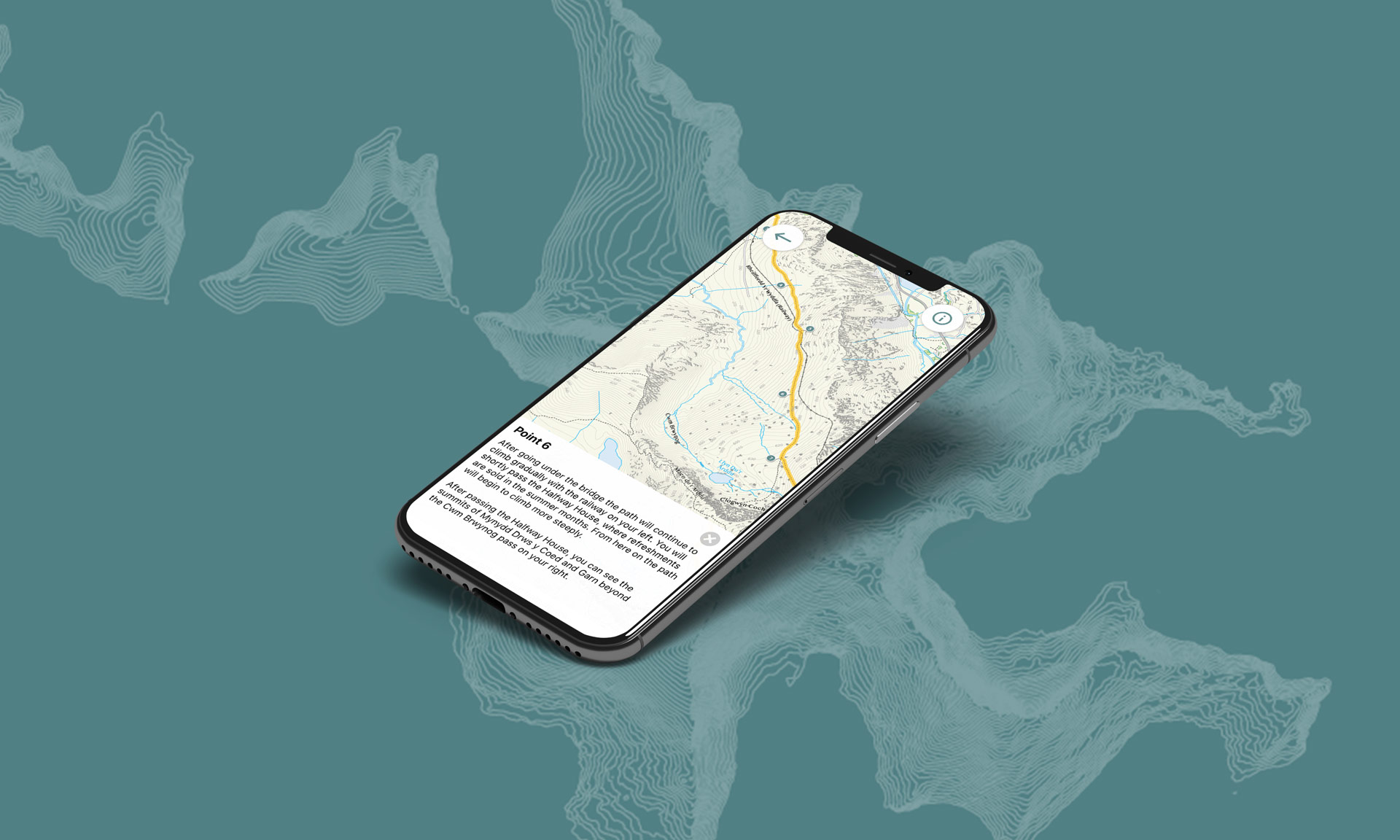
Llwybrau’r Wyddfa Walks app is a GPS-enabled app that can guide you along one of the six main routes to the summit of Yr Wyddfa. It is available to download from the App Store and Google Play store.
App Features
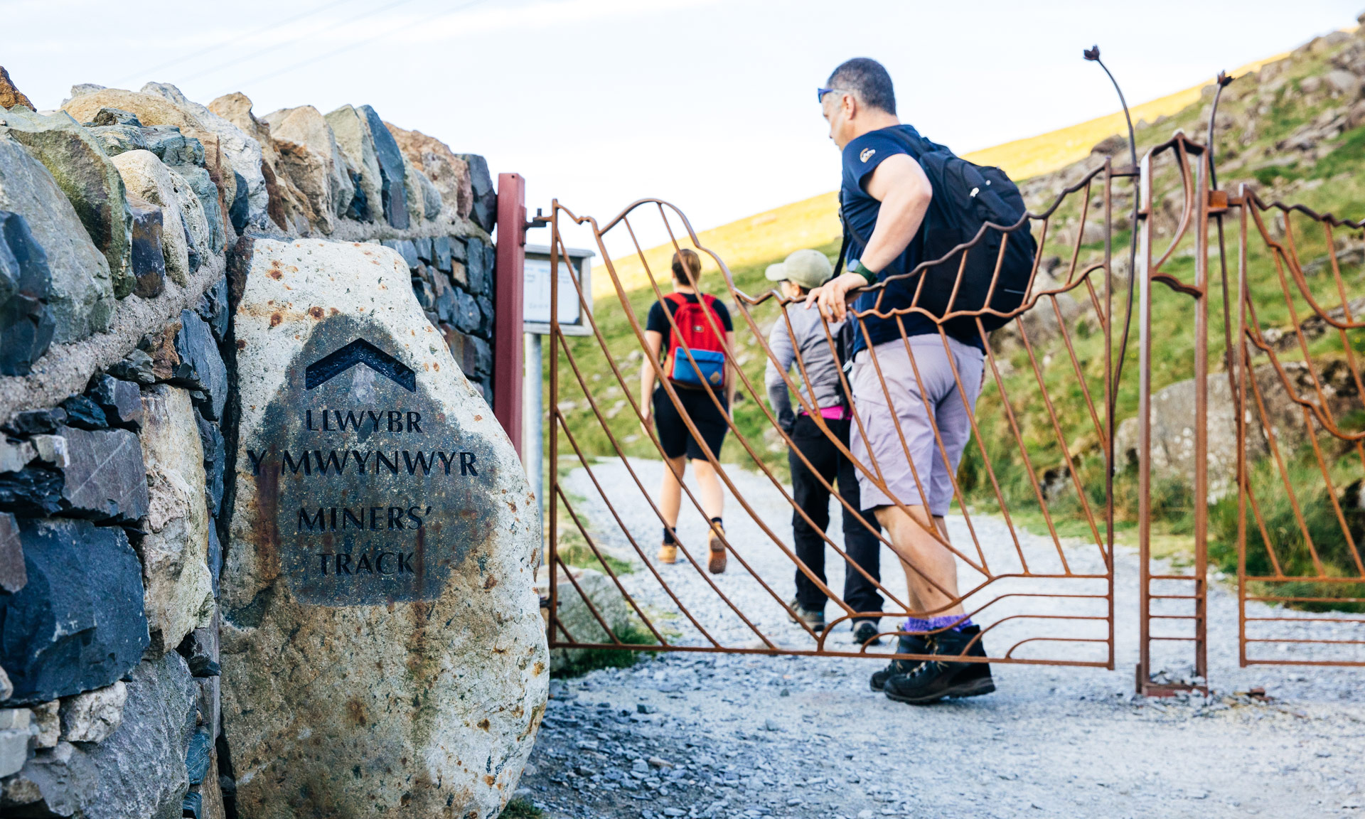
All routes up Yr Wyddfa
The app can guide you along any of the six main routes to the summit of Yr Wyddfa.
No signal, no problem
The app uses GPS technology to guide you. You do not need a web connection or phone signal to use the app.
Easy to use
Using the app is easy. Your location will be shown on the map as you follow one of the paths.
Planning ahead
The app is perfect for helping you plan ahead for your trip.
About the app
Co-designed by EryriNational Park Authority and partners, Llwybrau’r Wyddfa Walks app is the perfect tool to guide you to the summit of Eryri’s highest mountain.
This app is easy to use, works with GPS and includes detailed maps that track your location as you walk along any of the six main routes to the summit of Yr Wyddfa.
The app can work offline, which means you don’t need a web connection or even a phone signal while using it on the mountain.
Each map contains contour lines, so you can look out for difficult sections of the path as you walk.
Download the app
The app is available on Apple and Android platforms.