

The Pony Path is one of three paths to the summit of Cader Idris. Llanfihangel y Pennant path and the Minffordd path are two other options to the peak.
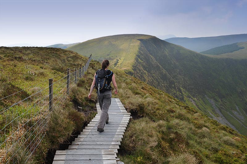
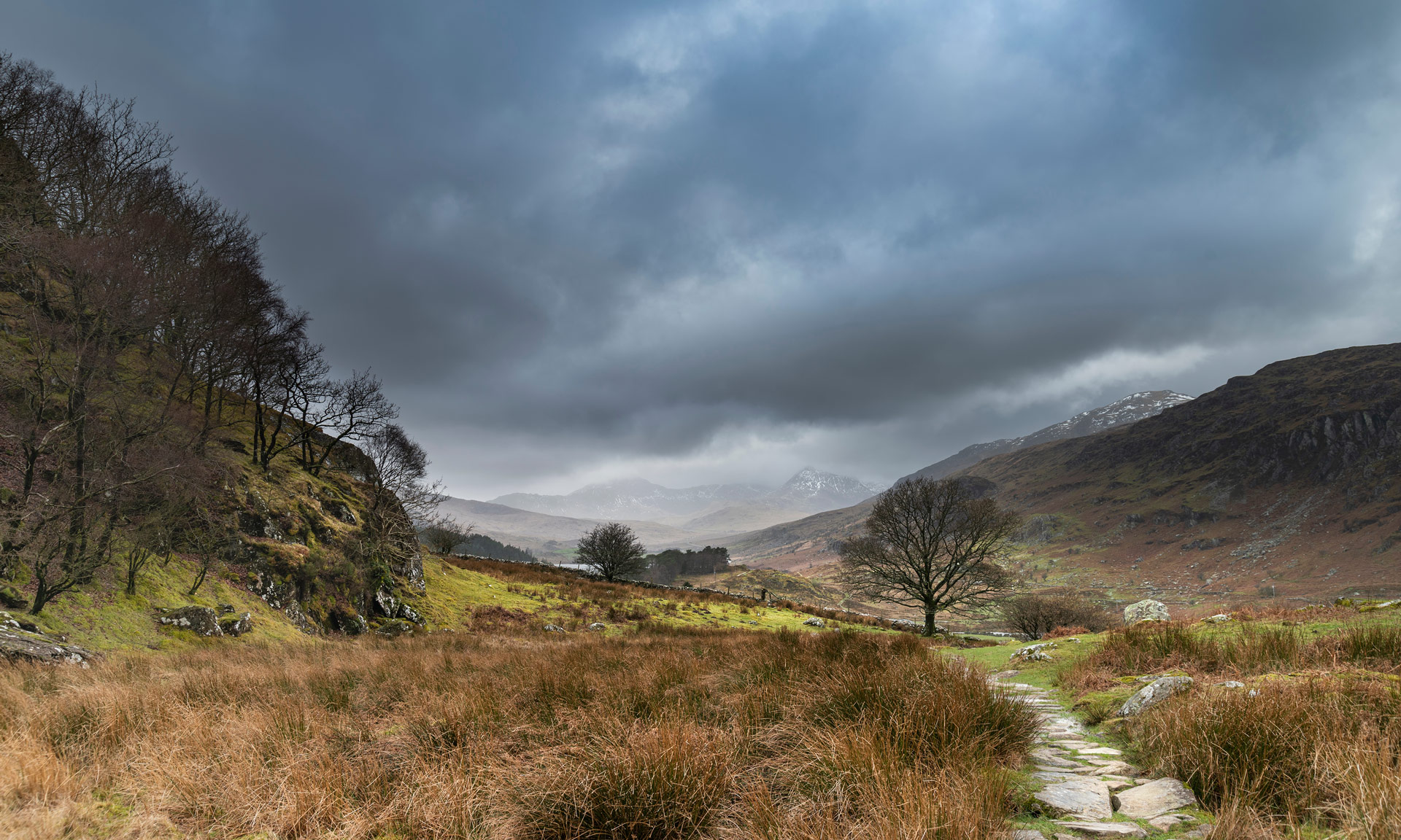
As one of the main footpaths up to the summit, the Pony path will take you along the northern slopes of Cader Idris, starting at Tŷ Nant—a stone’s throw from the town of Dolgellau.
The Pony Path is a hard/strenuous path. A good level of fitness is required and navigation skills are essential.
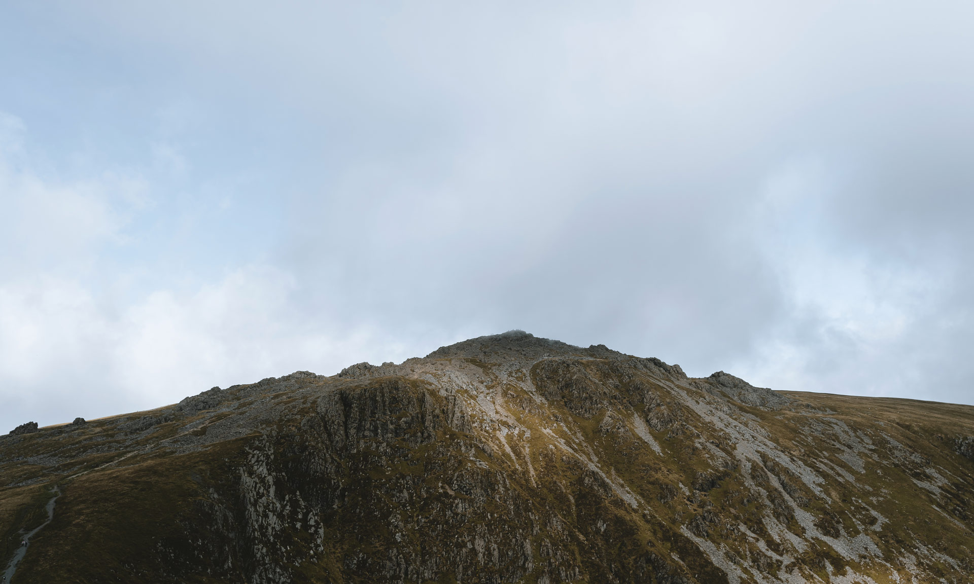
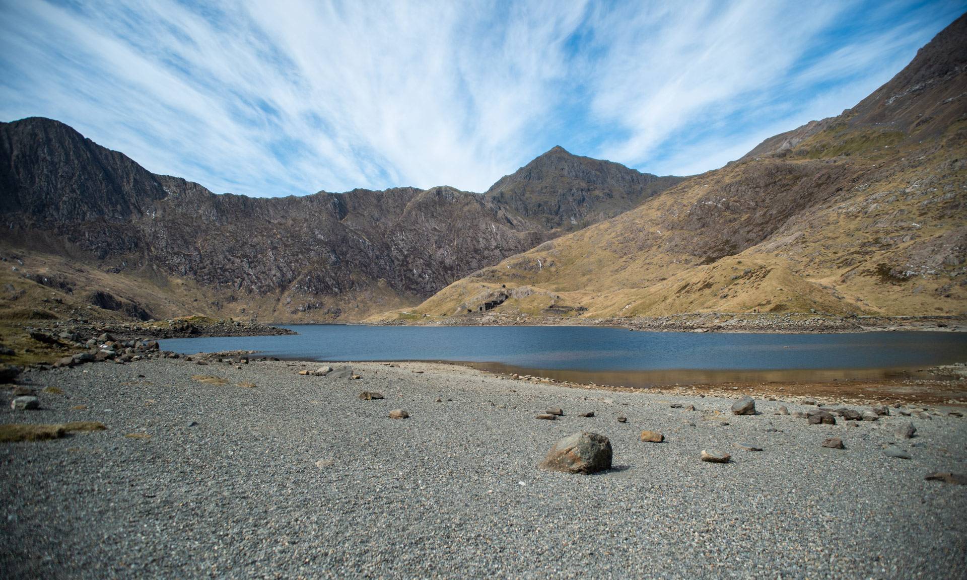
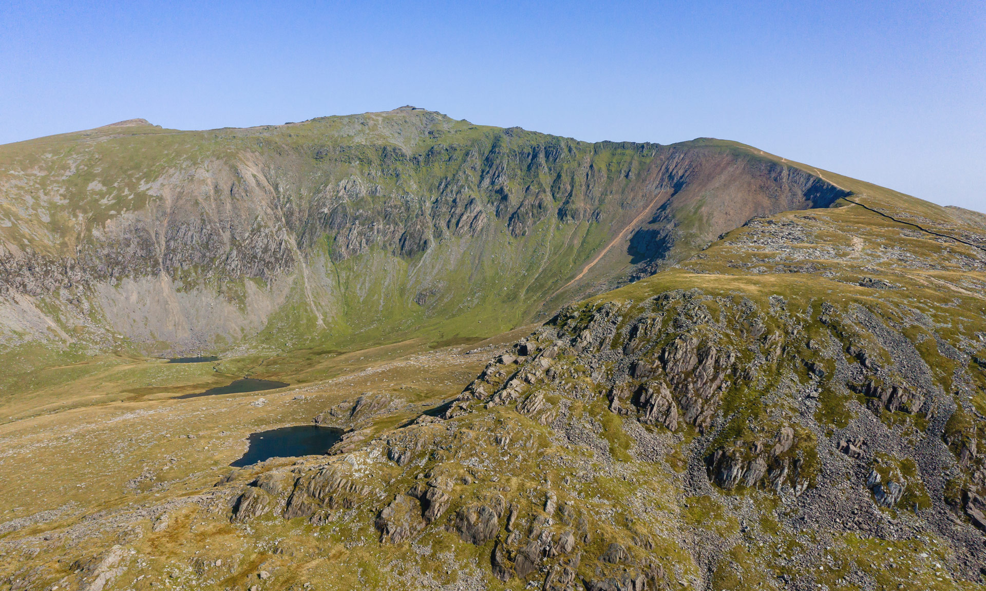
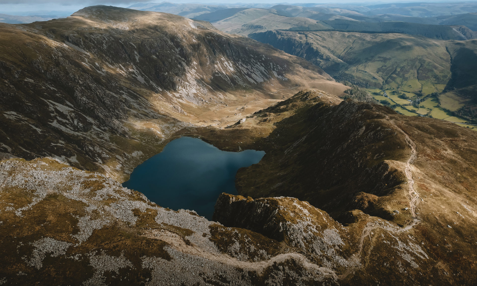
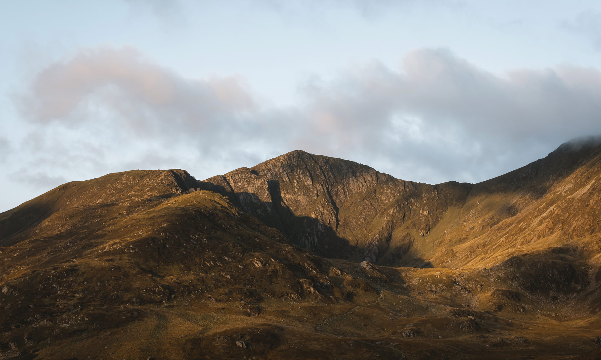
For experienced hikers, the path offers a fantastic variety of surroundings to the summit through small woodlands, along calm streams and across open, rock-clad expanses. Cwm Cau is well-known for its geology, which is enormously varied, partly as a consequence of pre-historic volcanic activity.


© Crown copyright and database rights OS AC0000825604. Use of this data is subject to terms and conditions.
The National Park Authority has categorised this route as a hard/strenuous route. It is only suitable for experienced country walkers with a good level of fitness. Navigation skills are essential. The terrain will include steep hills and rough country. It may also include some sections of scrambling. Full hill walking gear is essential. Specialist equipment may be required under winter conditions.
Start/Finish
Tŷ Nant Car Park (SH 697 153)
Relevant OS Map
OS Explorer OL23 (Cader Idris and Llyn Tegid)
Always park in designated parking places and never in areas where you block entrances to fields or residential areas.
Eryri National Park Car Park, Tŷ Nant
Owned by Eryri’s National Park Authority
Stay safe and help protect the countryside by reading the information about safety and following the Countryside Code.

Out of all the peaks in Snowdonia, Cader Idris is undoubtedly the most steeped in mythology. Countless legends are connected to this mystical summit and its surrounding lakes.
Cader Idris’ name, translated as Idris’ Chair, is often said to have been derived after a giant called Idris. Legend has it that Idris used the summit as a chair to survey his kingdom. Another theory suggests that the mountain is named after Idris ap Gwyddno, a 7th-century prince of Meirionnydd.
Many of the lakes around Cader Idris are supposedly bottomless, and it is said that, after spending a night on the peak, one would either wake up a poet or a ‘madman’.
Welsh mythology also suggests that Cader Idris was the hunting ground to Gwyn ap Nudd and his Cŵn Annwn. The howling of this pack of hounds foretold death to all that heard it—herding their soul into the underworld.
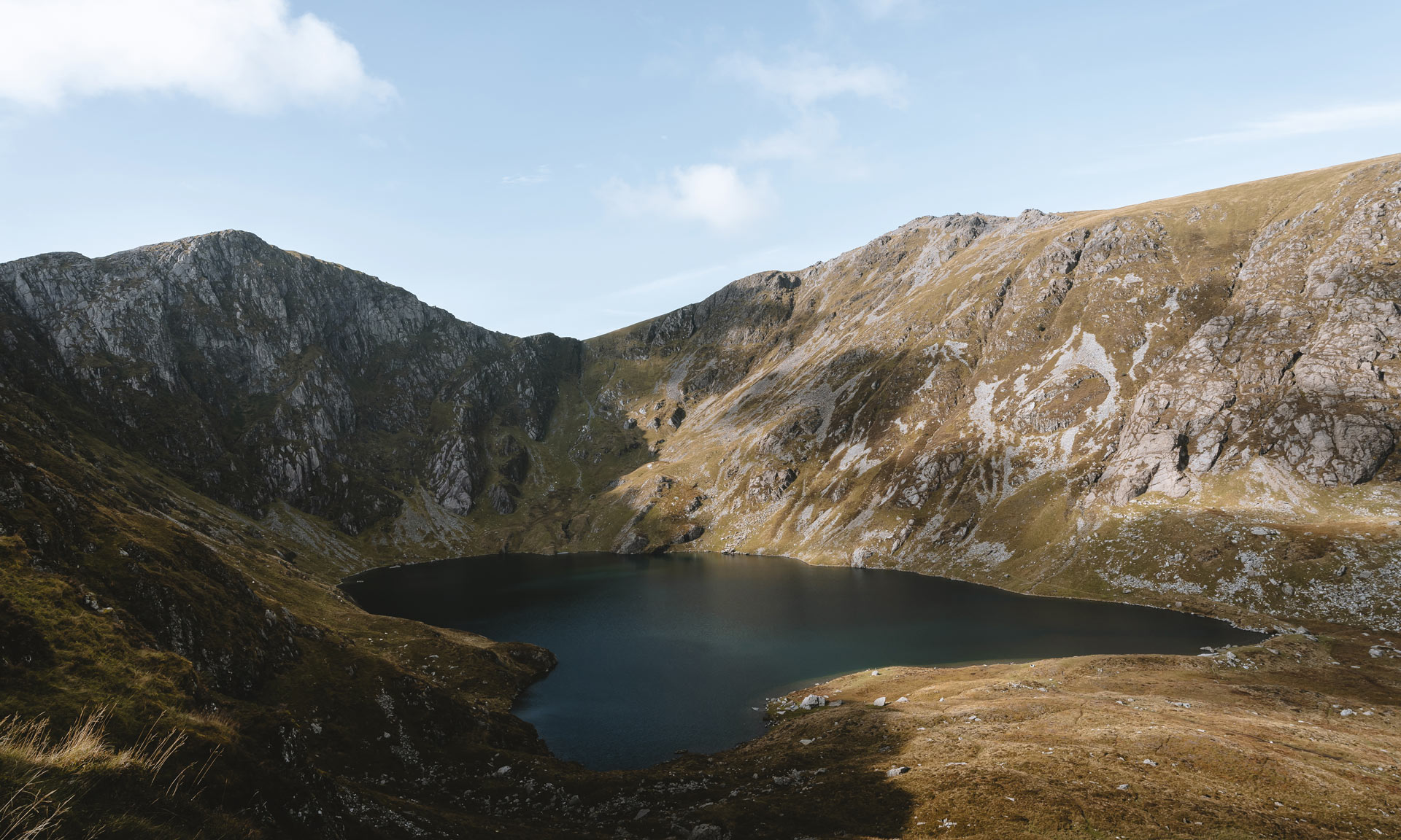
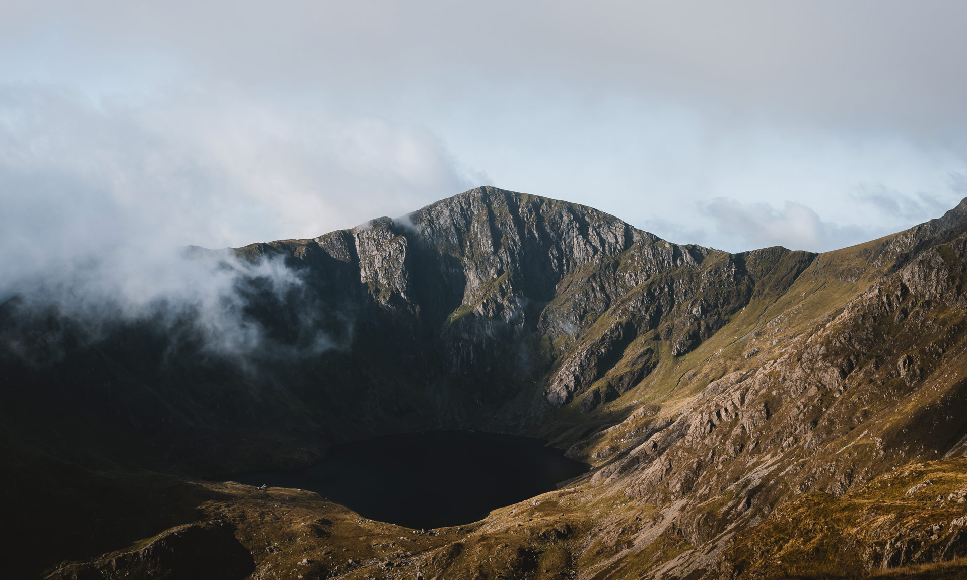
Cader Idris is formed of sedimentary and igneous rocks from the Ordovician age. Llyn Cau, which sits at the bottom of the crater-like Cwm Cau was formed by a cirque-glazier across several ice ages. The glacier’s size was up to a square kilometre at one point.
Much of the area around Cader Idris is a designated National Naure Reserve—home to Artic-alpine plants such as purple saxifrage and dwarf willow.
In the 18th century, Richard Wilson, an artist from Machynlleth, made the hike up to the shores of Llyn Cau at the foot of Cader Idris. Here he painted what is arguably his most well-known landscape painting.
It’s important to remember that these were the days before photography, and Wilson’s painting would have been the first time many had seen the landscape of Snowdonia.