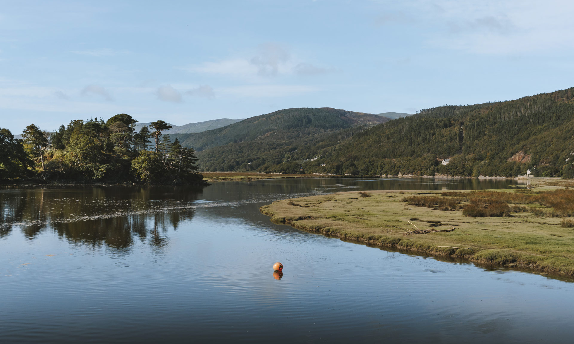
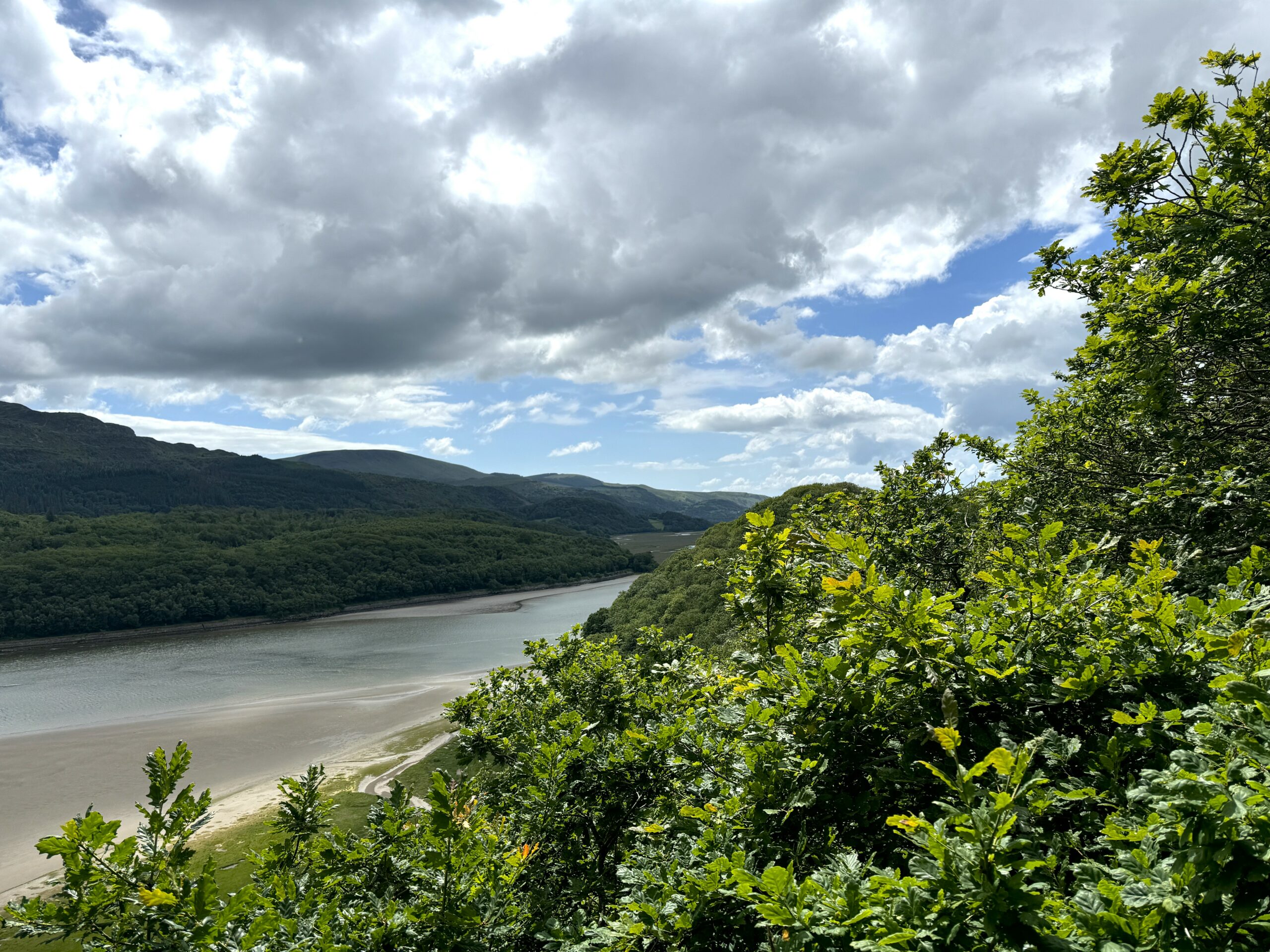
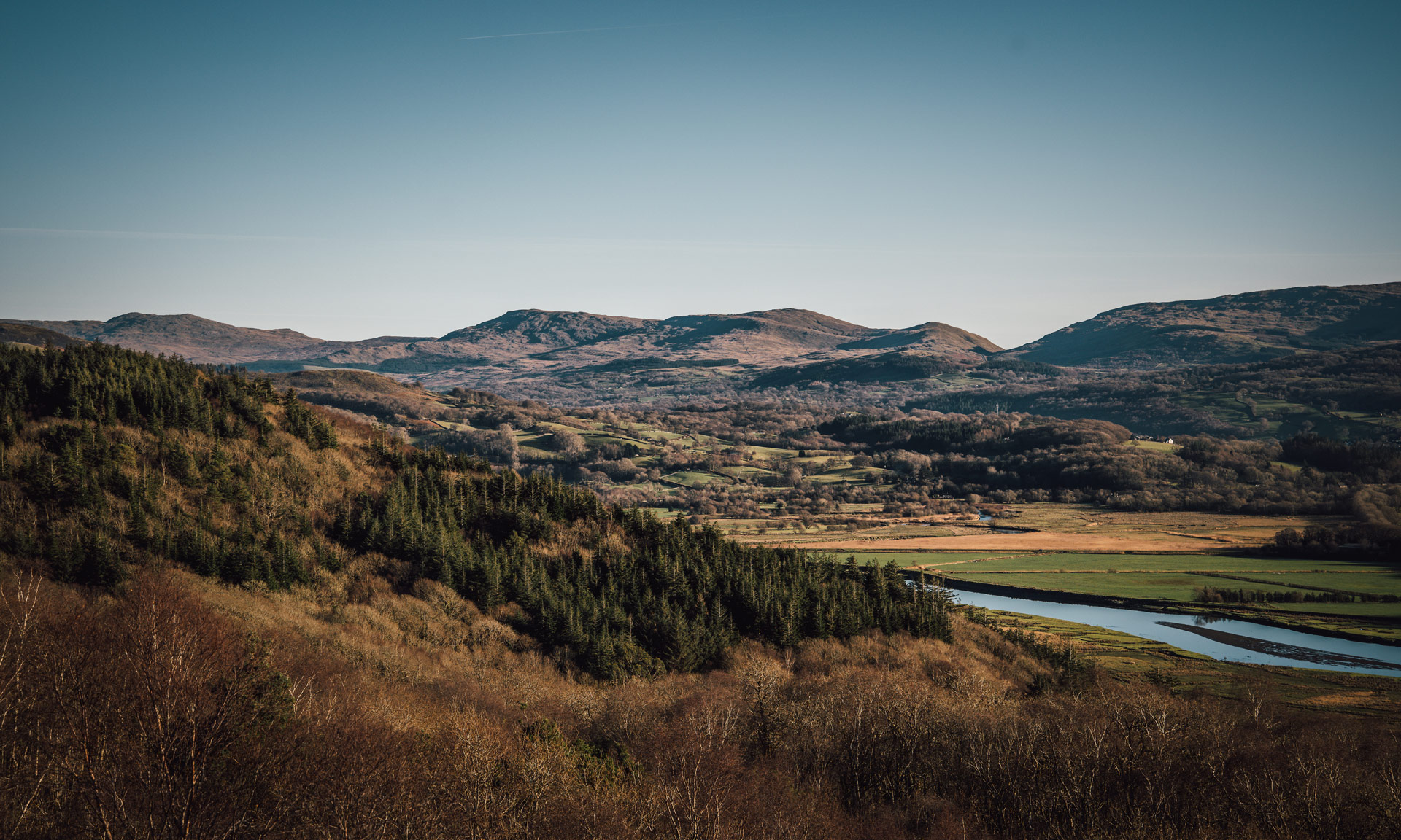
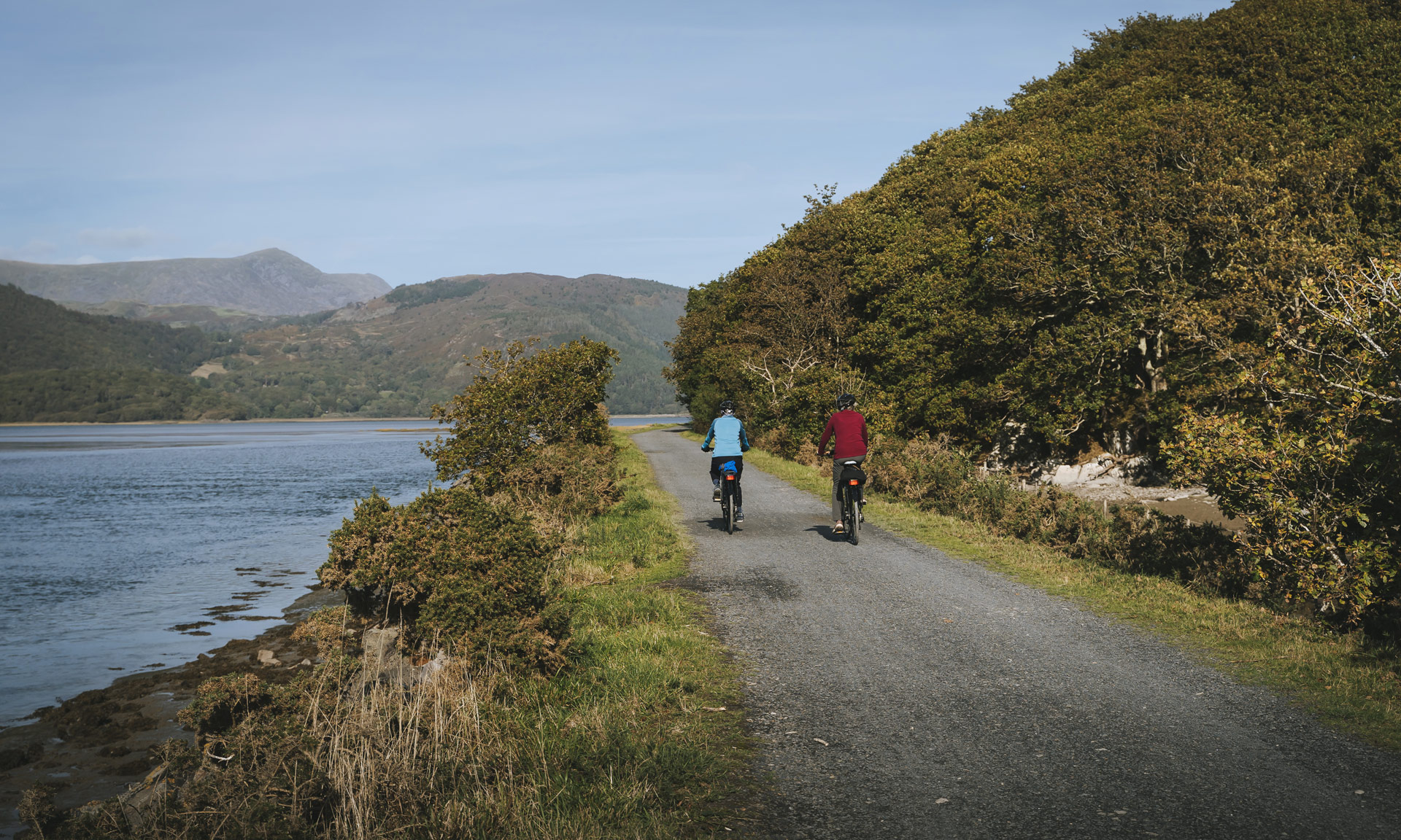
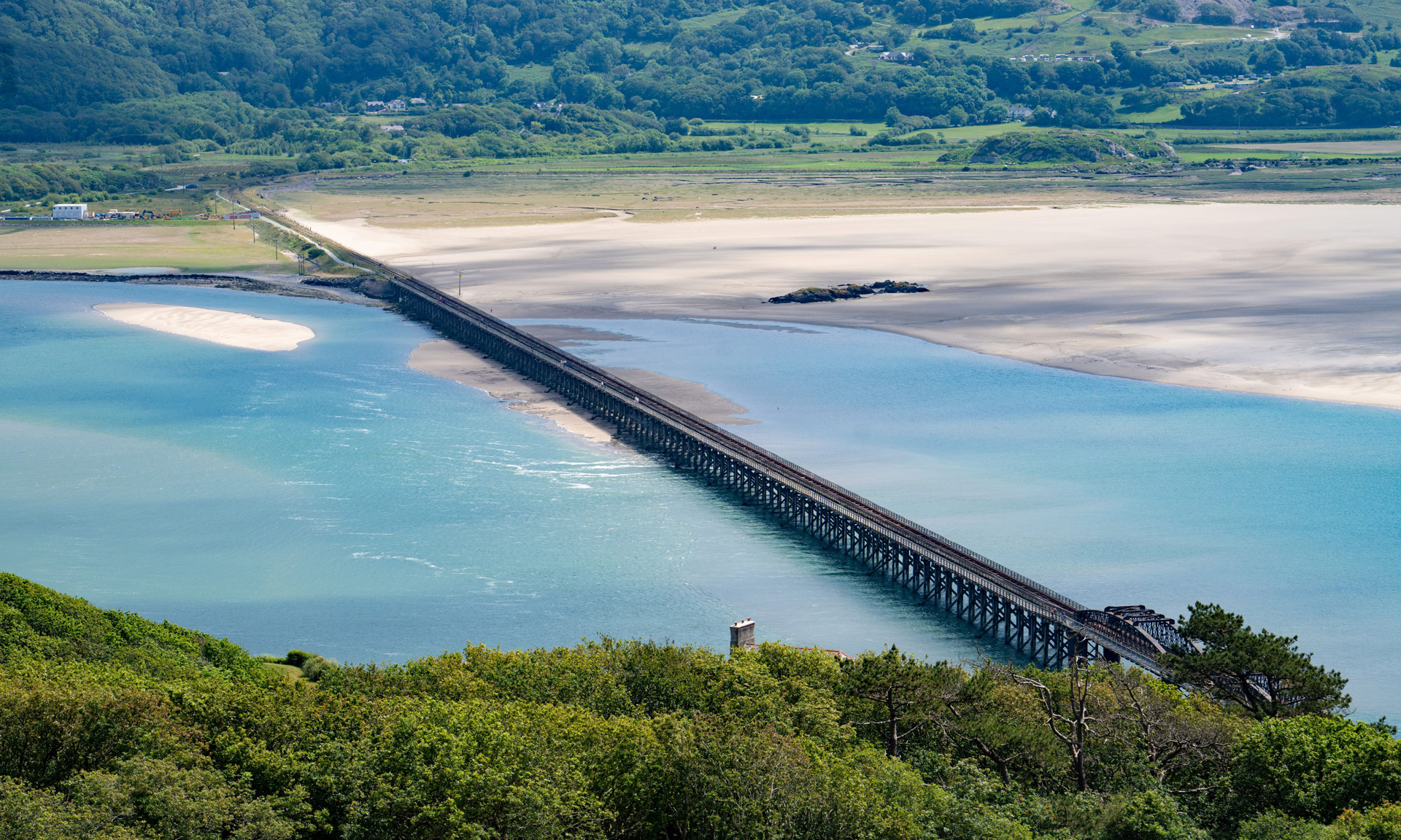
Owned by Eryri’s National Park Authority, Farchynys is a charming and varied woodland near the Mawddach Estuary. Fantastic views of Cader Idris, Barmouth Bridge, and the Dolgellau area can be seen from viewpoints along the route.
The woodland has a mixture of native woods such as oak and holly that attracts numerous birds like pied flycatchers, tree creepers and nuthatch.
Farchynys is a short, moderate walk on the northern shore of the Mawddach river. Experienced walkers might be interested in including Farchynys as part of a day’s hiking within the Mawddach area. The estuary is dotted with several short, moderate walks along both its southern and northern shore.
© Crown copyright and database rights OS AC0000825604. Use of this data is subject to terms and conditions.
The National Park Authority has categorised this route as a moderate route. It is suitable for people with some countryside walking experience and a reasonable level of fitness. The terrain will include some steep or unsurfaced paths in the open countryside. Walking boots and waterproof layers are essential.
Start / Finish
Farchynys Car Park, near Bont-ddu (SH 662 186)
Relevant OS Map
OS Explorer OL23 (Cader Idris & Llyn Tegid)
Always park in designated parking places and never in areas where you block entrances to fields, residential areas.
Farchynys Car Park
Owned by Eryri National Park Authority.
Stay safe and help protect the countryside by reading the information about safety and following the Countryside Code.
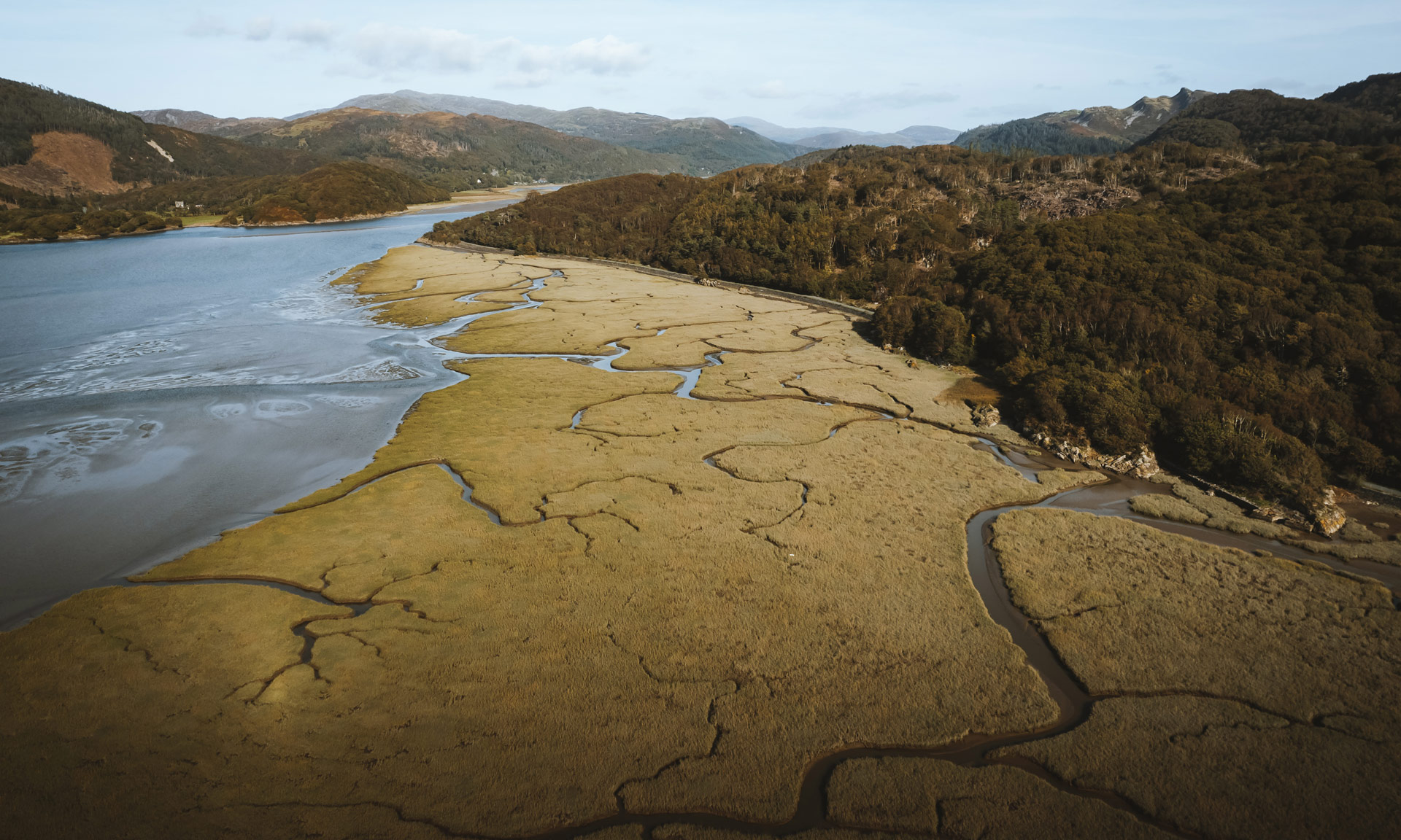
The vast and sandy Mawddach estuary is one of the National Park’s most remarkable areas.
The area is designated a Site of Special Scientific Interest and a Special Area of Conservation due to its salt marsh and lowland peat habitats.
Nearby Arthog bog is home to an RSPB nature reserve full of incredible wildlife such as rare flowers, grass snakes, butterflies and all manner of birds.
The area was also the centre point to some of Eryri’s rich industrial past. On the estuary’s northern shore, the historic Clogau gold mine sits high above the village of Bontddu. Mining for gold was a popular activity in this area. Gold panning also took place in the Mawddach river itself.
During the 18th and 19th centuries, the Mawddach was home to a busy shipbuilding industry. A total of 318 vessels were built along the Mawddach between 1750 and 1865.
Down towards the end of the estuary stands Barmouth Bridge, crossing between the northern and southern shores of the Mawddach. The bridge is a Grade II* listed single-track wooden railway viaduct stretching 820 meters between Morfa Mawddach and Barmouth stations. It is the longest timber viaduct in Wales and is synonymous with views of the estuary.
In 2020, S4C’s programme ‘Y Stiwdio Grefftau’ showcased the work of makers across Wales. As part of the National Park’s 70th birthday celebrations, the programme asked 3 creators to design and build a Dark Sky Bench, to celebrate the National Park’s status as a Dark Sky Reserve. The bench would also give people a place to go and see the stars, with the winning design to be installed in Farchynys, an accessible location, safe for families who want to get out and look up. The winning design was this spectacular creation by Chris Brady, reflecting the woodland of Farchynys. His design was crafted masterfully from iron in his workshop for the competition. The tree stump design has 3 seats, each with a constellation embedded into the back of the seat, a tactile feature for those with visibility issues to help them experience the stars above them.
