

A peaceful route through an ancient woodland—perfect for any season
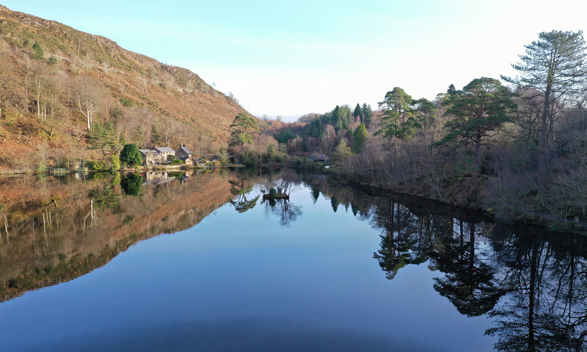
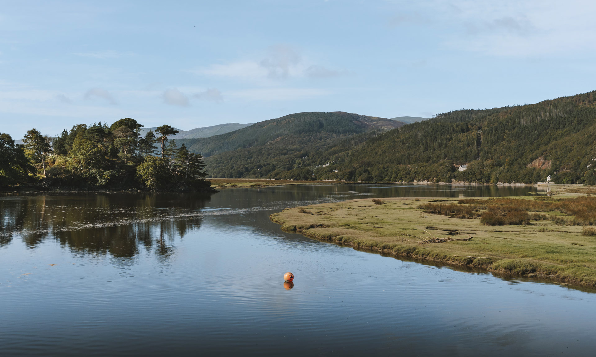
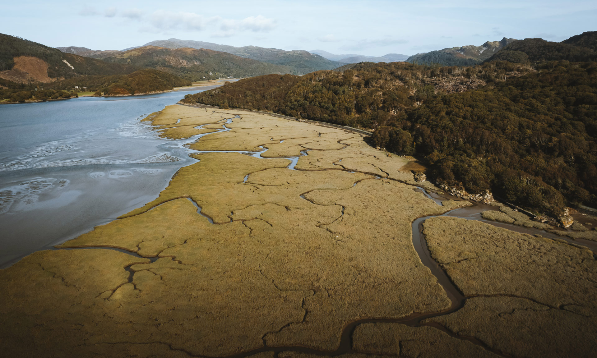
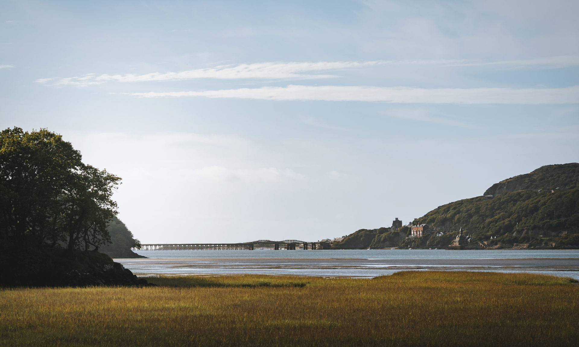
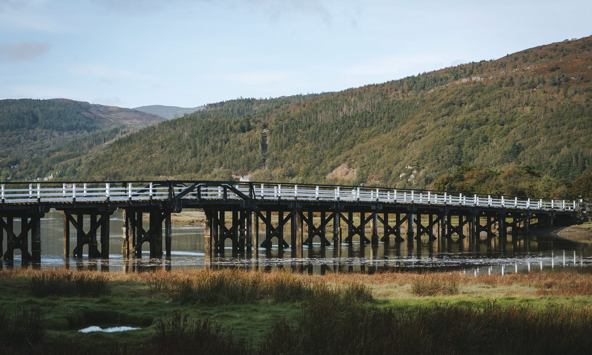
Abergwynant Woods is a 90-acre woodland situated between Dolgellau and Barmouth. The Mawddach Estuary, which leads towards Barmouth, runs alongside the woodland. The route also follows part of the Mawddach Trail, a 15km trail between Dolgellau and Barmouth.
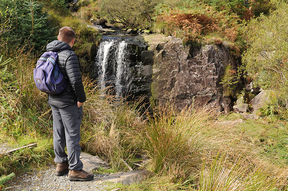
The Gwynant river, which originates at the foot of nearby Cader Idris, meanders through the forest floor, allowing species such as mosses and lichens to grow in abundance. Abergwynant is also home to many woodland species such as fungi, frogs and newts. Native trees including oak, birch and holly also grow here.
Why this path?
Woodlands such as Abergwynant can be quiet, reflective places perfect for a mindful stroll. They can also be exciting worlds of discovery perfect for a family outing.
Autumn can be the best time to visit woodlands. The sound of raindrops dripping from the trees above and mountains of fallen leaves underfoot make woodlands such as Abergwynant a fantastic option if you’re visiting Snowdonia during quieter seasons.
While Abergwynant is far from the most challenging walk in the National Park, it is sure to reward you with an abundance of fantastic views and magical wildlife.


© Crown copyright and database rights OS AC0000825604. Use of this data is subject to terms and conditions.
The National Park Authority has categorised this route as a moderate route. It is suitable for people with some countryside walking experience and a reasonable level of fitness. The terrain will include some steep or unsurfaced paths in the open countryside. Walking boots and waterproof layers are essential.
Start / Finish
Penmaenpool Car Park near Dolgellau
Relevant OS Map
OS Explorer OL23 (Cader Idris and Llyn Tegid)
Always park in designated parking places and never in areas where you block entrances to fields, residential areas.
Penmaenpool Car Park
Owned by Eryri’s National Park Authority
Stay safe and help protect the countryside by reading the information about safety and following the Countryside Code.
The name ‘Abergwynant’
Abergwynant is likely named after the Gwynant river, which flows through the woodland. ‘Aber’ is a common prefix to many Welsh language place names and means ‘mouth of’. Therefore, Abergwynant means ‘mouth of the Gwynant river’.
Ancient Woodlands
Ancient woodlands such as Abergwynant are scarce habitats. These forests are only found in areas close to the sea—making Eryri the perfect place for such habitats.
The conditions in these areas are perfect for rare plants, lichen and forest fungi to grow.
Restoring Abergwynant
Abergwynant is an ancient woodland dating back to the 17th century. During the 1960s, conifer trees were planted in the woodland, and most native trees were cleared. The National Park Authority acquired the site in 1996, and work began to restore the woodland to its natural state. The Authority cleared invasive species such as the Rhododendron ponticum, removed the conifer trees and planted native trees such as sessile oak, birch and holly.
Abergwynant Old Lime Kiln
As the route follows the Gwynant river, you will come across a great example of an old lime kiln. Ships and boats would carry limestone to this location from the Gogarth area in Llandudno. The limestone would then be burned in the kiln to create lime. The lime was then spread onto fields as fertilizer.