

One of the National Park’s most versatile routes stretching between Beddgelert and Rhyd Ddu
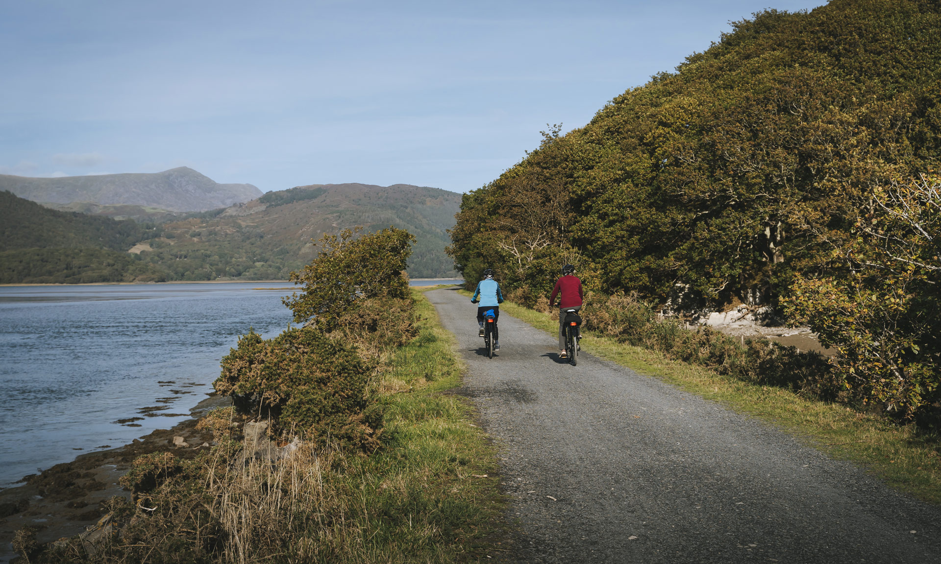
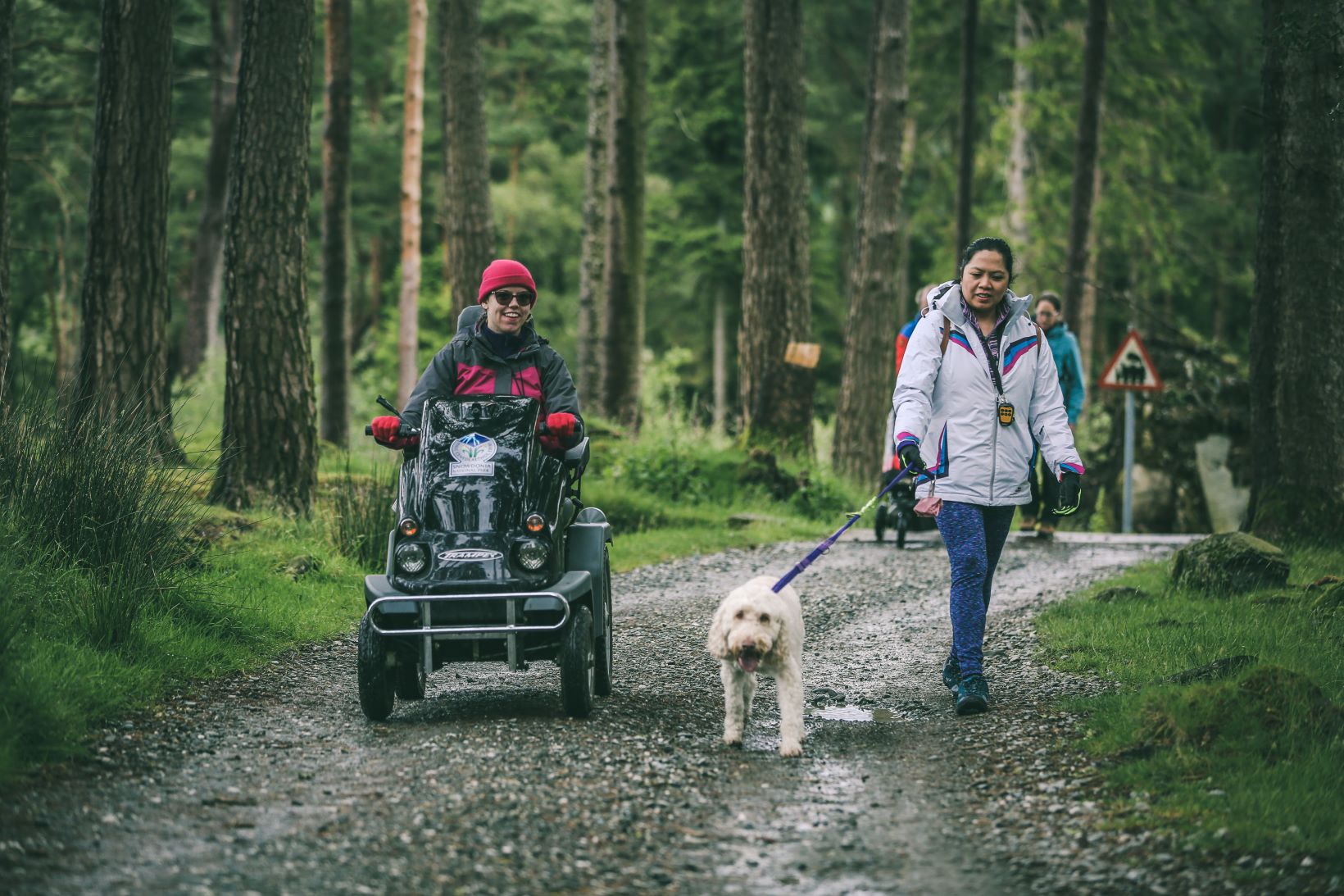
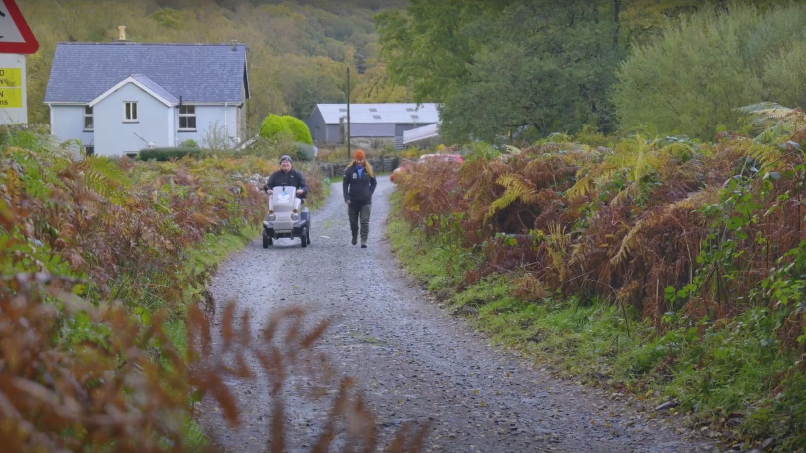
Lôn Gwyrfai is a multi-use recreational path created especially for walkers, cyclists and horse riders. The route stretches 4½ miles between the villages of Rhyd Ddu and Beddgelert. Parts of Lôn Gwyrfai have even wide surfaces suitable for some powered Tramper type vehicles or power-assisted wheelchairs.
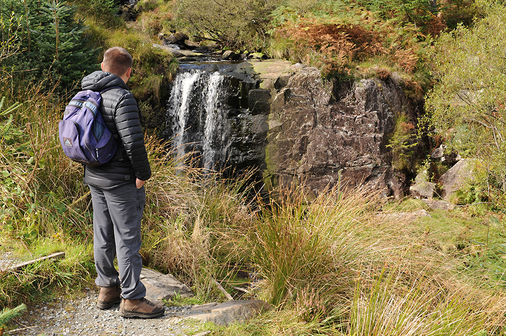
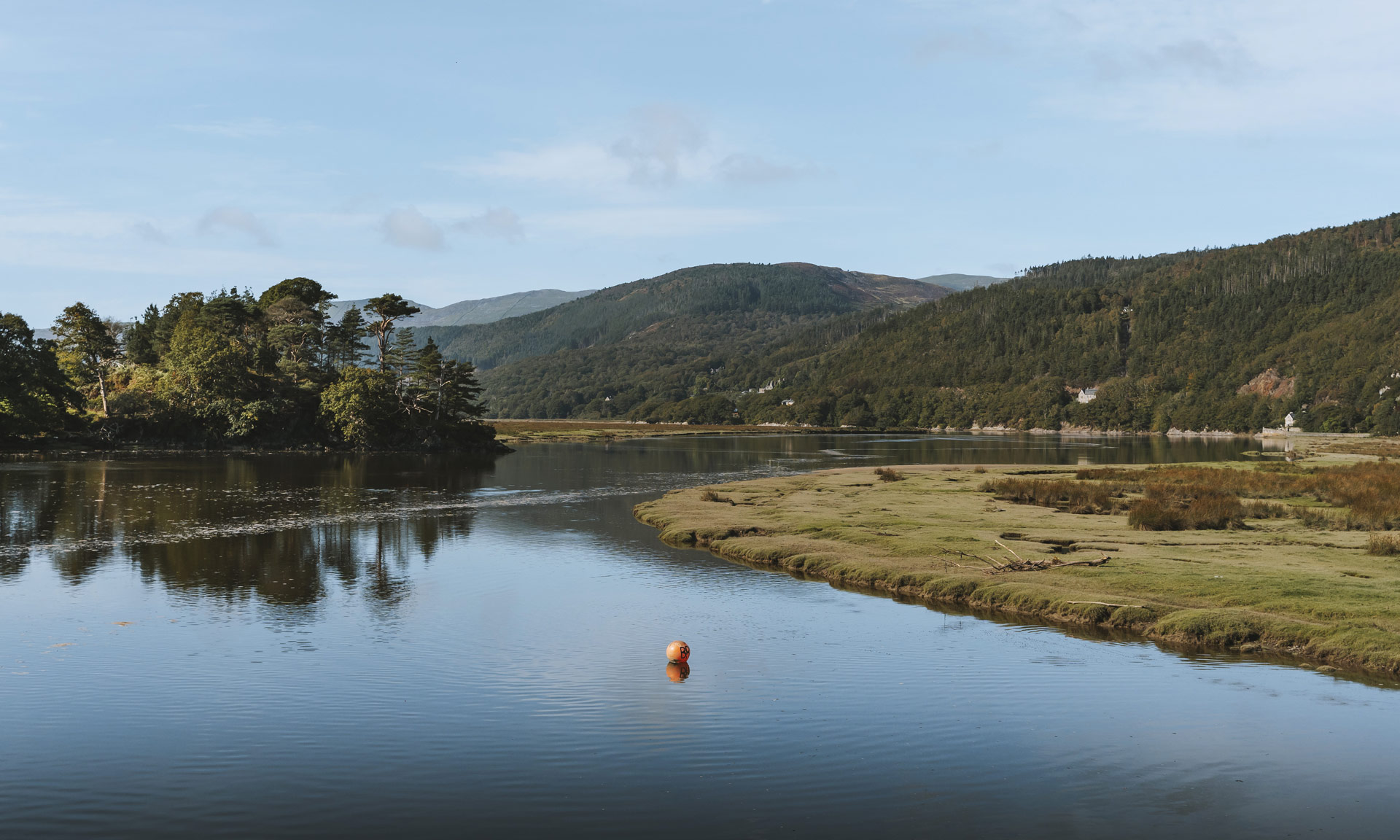
Leading through a variety of landscapes, Lôn Gwyrfai offers fantastic views of the Gwyrfai Valley and the surrounding area, including stunning views of Yr Wyddfa (Snowdon).
Why This Path?
Lôn Gwyrfai is one of the National Park’s most versatile routes suitable for walkers, cyclists and horse riders. Experienced walkers might enjoy completing the whole 4½ mile route. However, it is also possible to complete smaller sections of the trail.
You could also take advantage of the bus service or the Welsh Highland Railway to travel back and forth between Beddgelert and Rhyd Ddu.

© Crown copyright and database rights OS AC0000825604. Use of this data is subject to terms and conditions.
The National Park Authority has categorised this route as an easy route. It is suitable for people of most ages and fitness levels. The terrain is predominantly a well-formed track or path with some steps or surfaces that are gently undulating. Trainers or comfortable walking shoes are recommended.
Start
Eryri National Park Car Park, Rhyd Ddu
Finish
Eryri National Park Car Park, Beddgelert
Lôn Gwyrfai stretches from the village of Rhyd Ddu to Beddgelert. This particular route begins at the village of Rhyd Ddu.
Relevant OS Map
OS Explorer OL17 (Snowdon & the Conwy Valley)
Always park in designated parking places and never in areas where you block entrances to fields or residential areas.
Eryri National Park Car Park, Rhyd Ddu
Owned by Eryri National Park Authority
View on What 3 Words
View on Google Maps
Note that this particular route follows the Lôn Gwyrfai path from Rhyd Ddu to Beddgelert. However, it is possible to follow the route from Beddgelert to Rhyd Ddu.
The National Park Authority has categorised this route as an Access for All route, which is suitable for Tramper style mobility scooters. Trampers are specially-designed, all-terrain mobility scooters that allow people with difficulty walking to access some of the National Park’s most fantastic areas.
The National Park Authority offer a Tramper hire service free of charge, but donations are welcome. Donate
Important
Only certain sections of Lôn Gwyrfai are suitable for Trampers. When you request a Tramper, an officer from Snowdonia National Park Authority will inform you of the suitable and unsuitable sections of the route.
For last minute hire of the Tramper, please call 01766890288 or email reception@beddgelertcampsite.co.uk.
Request a Tramper for Lôn Gwyrfai
Request a 4-Wheel Electric Bike for Lôn Gwyrfai
Information about Tramper Hire
Information about Accessibility in Eryri
Stay safe and help protect the countryside by reading the information about safety and following the Countryside Code.
Developing Lôn Gwyrfai
Lôn Gwyrfai was proposed by a group of local residents as an off-road walking route between Rhyd Ddu and Beddgelert. The National Park Authority applied for funding through the Communities and Nature Project (European Regional Development Fund) to fund half of the costs of developing the route. The Communities and Nature Project aimed to generate economic growth and sustainable careers by capitalising on Wales’s environmental qualities—particularly its landscape and wildlife.
The remainder of the funding came from the National Park Authority directly. The project was overseen and administered by the Park Authority with the funding administered by Natural Resources Wales (NRW) on behalf of the Welsh Government European Funding Office.
Lôn Gwyrfai took around 6 months to complete and, apart from routes to Yr Wyddfa’s summit, is one of the most popular routes in Eryri.
History
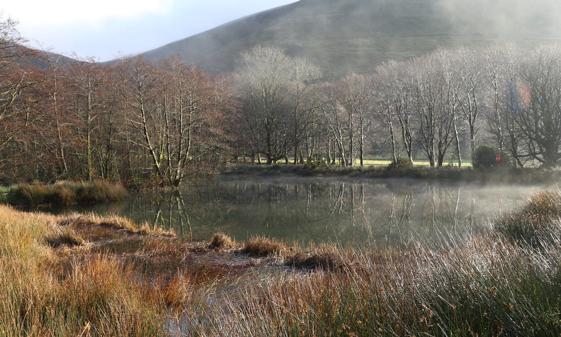
Llyn y Gadair supported the railway that transported slate from Gadair-wyllt Quarry. The quarry was operational between 1885 and 1920, and slate waste was dumped in the lake for a period.
Towards the east, on the slopes of Yr Wyddfa, is the remains of the Ffridd Slate Quarry. Quarrying, mining and farming were the area’s main livelihood at one time, with villages such as Rhyd Ddu built entirely to house mining families. Farming continues to be one of the main livelihoods of the National Park today, and mountains such as Yr Wyddfa are home to a vast patchwork of hill farms.
Biodiversity
Llyn y Gadair, and the Gwyrfai river that flows out of it, is of great ecological value. It sustains a wide variety of plants and wildlife of national importance, such as the Arctic Char Floating water-plantain.
Welsh Highland Railway
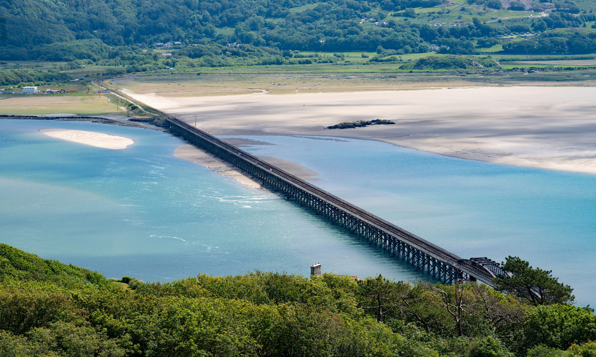
The Welsh Highland Railway runs parallel to Lôn Gwyrfai. This narrow-gauge heritage railway operates between Caernarfon and Porthmadog and offers some of the best views in Eryri.