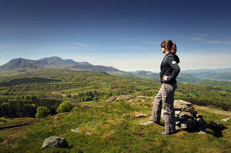
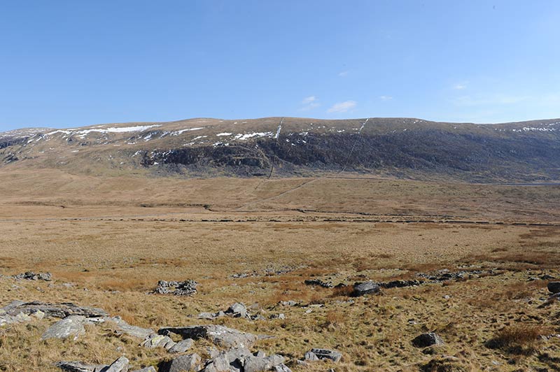
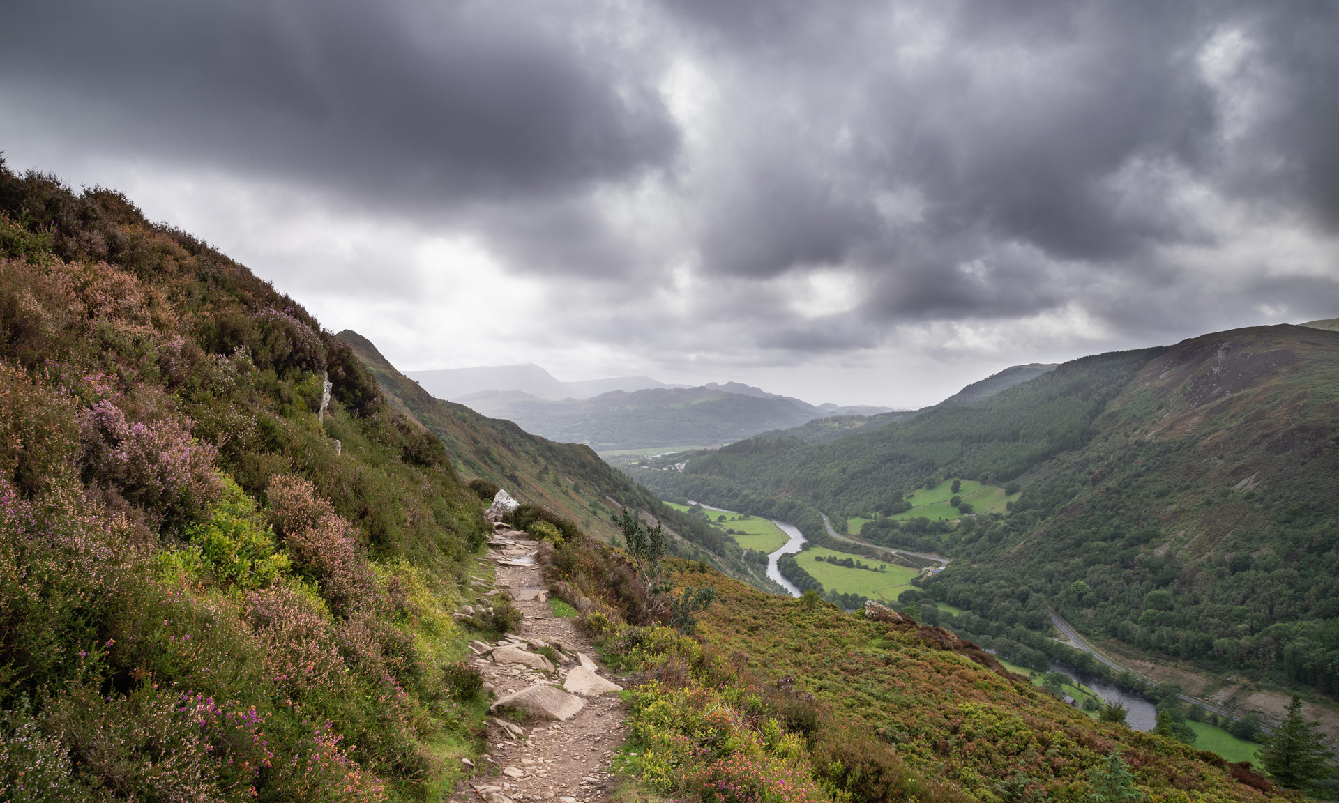
Foel Caerynwch, a summit to the east of Dolgellau, rises 570 feet (175m) above the village of Brithdir.
The path offers striking panoramic views of the Meirionnydd hills. Foel Caerynwch is part of a variety of routes in the Dolgellau area of the National Park.
Foel Caerynwch is far from the tallest peak in Eryri and can be a good option for walkers keen to expand their mountaineering experience before venturing to higher summits. However, you should always ensure that you have the appropriate level of fitness and the correct mountaineering knowledge before starting your journey.
© Crown copyright and database rights OS AC0000825604. Use of this data is subject to terms and conditions.
The National Park Authority has categorised this route as a moderate route. It is suitable for people with some countryside walking experience and a reasonable level of fitness. The terrain will include some steep or unsurfaced paths in the open countryside. Walking boots and waterproof layers are essential.
Start / Finish
Brithdir Village Hall
Relevant OS Map
OS Explorer OL23 (Cader Idris and Llyn Tegid)
Always park in designated parking places and never in areas where you block entrances to fields, residential areas.
Lay-by opposite Brithdir Village Hall
Stay safe and help protect the countryside by reading the information about safety and following the Countryside Code.
The summit of Foel Caerynwch is a fantastic place to witness the signs of how geological activity formed the area’s landscape. Many thousands of years ago, Foel Caerynwch would have stood at a fork between two immense glaciers travelling westwards towards Ireland. The movement of these glaciers would have carved out the valleys below.
To the west is the Clywedog river, where large borders stand testament to the phenomenal forces that plucked them from the mountains above. The rocks would have been deposited in such places when the glaciers finally melted about 10,000 years ago.
The landscape surrounding Foel Caerynwch is steeped in history. The Iron Age hill fort on Foel Offrwm and the Roman camp in Brithdir testify to man’s long presence here. Castell y Bere, the last stronghold of the Welsh princes, lies on the other side of Cader Idris and nearby Dolgellau was the site of Owain Glyndŵr’s parliament house. Bwlch yr Oerddrws was a favourite haunt of the infamous Red Bandits of Mawddwy. The village of Brithdir, where the route starts, was home to many prominent Quakers, while nearby Caerynwch Hall was the home of the eminent botanist, Mary Richards.
