

A long hike along the southern shore of Wales’ largest natural lake, Llyn Tegid
This walk leads along the hills of Llyn Tegid’s southern shore, offering striking views of across the open countryside and, of course, Llyn Tegid itself.
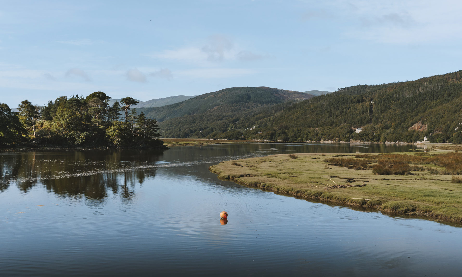
Llyn Tegid is one of the National Park’s most popular destinations. As Wales’ largest natural lake, activities such as paddle-boarding, kayaking and fishing are popular reasons to visit its shores.
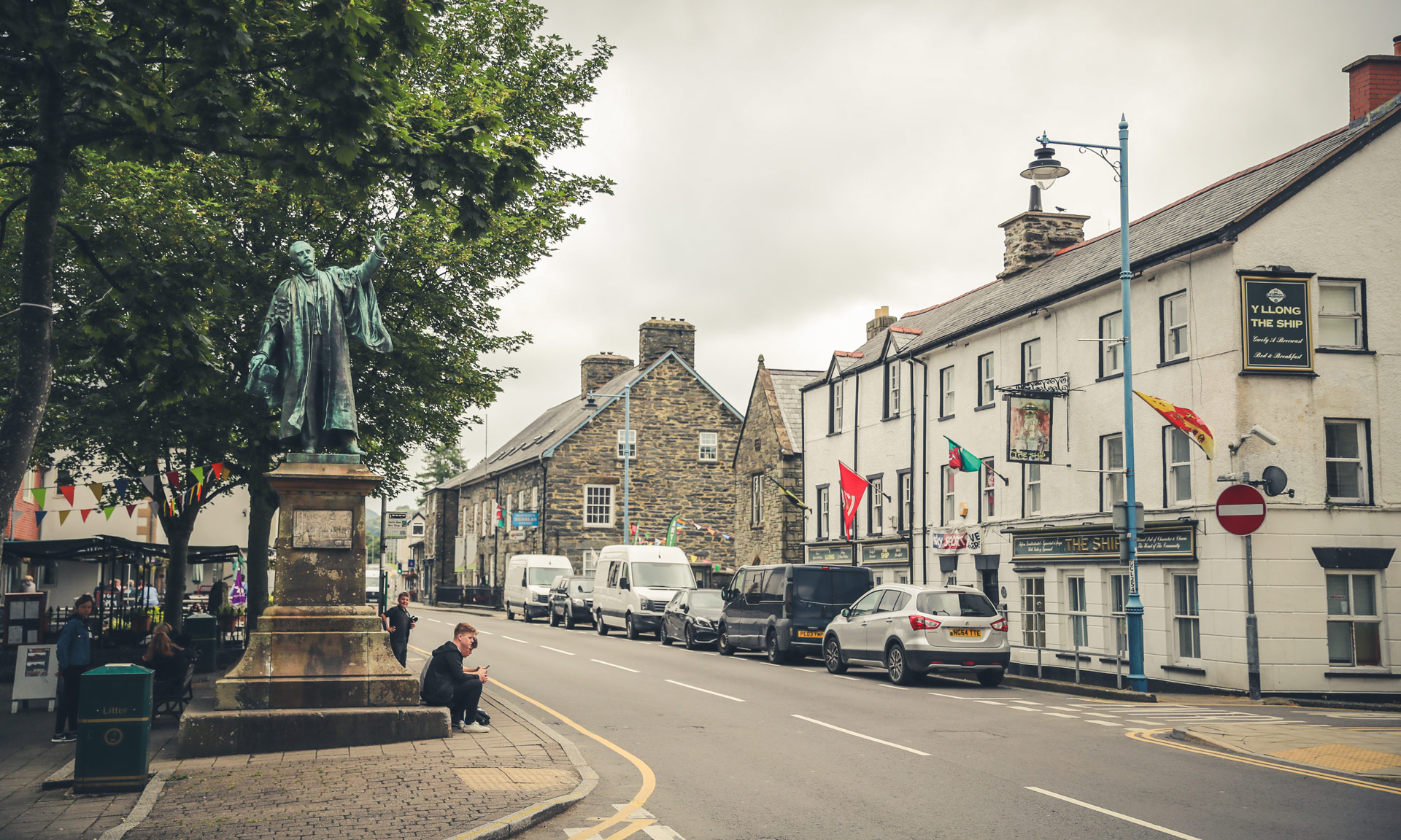
The town of Bala, where the route ends, has the highest percentage of Welsh speakers in the National Park. A great wealth of history and culture is associated with the Bala area.
Why this path?
While Llyn Tegid South is considered a moderate walk, its length might be a barrier for some. At over 7 miles, a good fitness level is required to complete the walk. Novice walkers might feel more comfortable on the area’s shorter walks.
The route ends at Bala, making the town a perfect place for a post-hike refreshment in one of its many cafes and pubs. On hotter summer days, a dip in Llyn Tegid itself might be the best way to cool off after the hike.


© Crown copyright and database rights OS AC0000825604. Use of this data is subject to terms and conditions.
The National Park Authority has categorised this route as a moderate route. It is suitable for people with some countryside walking experience and a reasonable level of fitness. The terrain will include some steep or unsurfaced paths in the open countryside. Walking boots and waterproof layers are essential.
Start
Commemorative Monument, Llanuwchllyn
Finish
National Park Authority Car Park on Llyn Tegid foreshore
Relevant OS Map
OS Explorer OL23 (Cadair Idris & Llyn Tegid)
Always park in designated parking areas and never in places where you block entrances to fields or residential areas.
There are ample public transport options between the route’s car park and its starting point at Llanuwchllyn.
Llyn Tegid Foreshore Car Park
Owned by Eryri National Park Authority
Stay safe and help protect the countryside by reading the information about safety and following the Countryside Code.
The birthplace of a national youth movement
The route starts at the village of Llanuwchllyn. Here a monument stands to commemorate a father and son originally from the village.
Sir O.M. Edwards was an editor, litterateur and prominent educator eager to encourage pride in the Welsh language and Welsh traditions.
Inspired by his father’s work, Sir Ifan ab Owen Edwards founded the national youth organisation ‘Urdd Gobaith Cymru’ in 1922. The Urdd is one of Wales’ largest and most-celebrated youth organisations. It provides opportunities for children and young people to enjoy experiences through the medium of Welsh. In 2022, the Urdd celebrated its centenary year with a membership of over 55,000 young people.
One of the Urdd’s residential centres, Glanllyn, is situated on the northern shore of Llyn Tegid.
The site of a Roman road
After exiting the village of Llanuwchllyn and as you ascend along the public footpath, you will come across a farm named Llechweddystrad (the slope of the Roman road). The name suggests that a Roman road used to go through this site. On the other side of the valley is the site of an old Roman fort, Caer Gai, which stands on an old crossroad. The main road from the east ran from the direction of Chester towards Brithdir near Dolgellau, and the other road connected Caer Gai with Tomen y Mur in the north and Caersws in the south.
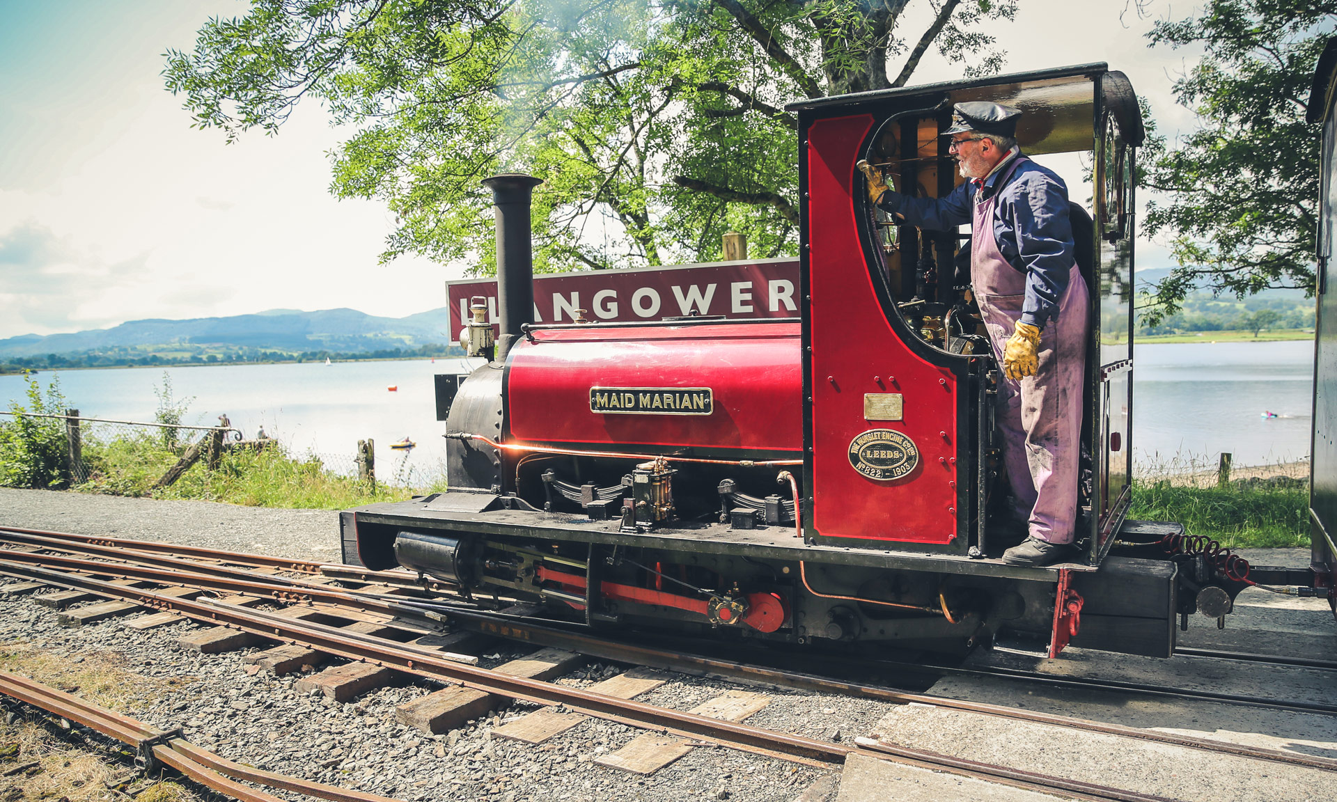
Llyn Tegid Railway
Along the southern shore of Llyn Tegid runs the Llyn Tegid Railway. This narrow-gauge railway which runs between Bala and Llanuwchllyn, has several stops along its 9-mile length. The railway runs over part of the old Great Western Railway between Ruabon and Morfa Mawddach near Barmouth.