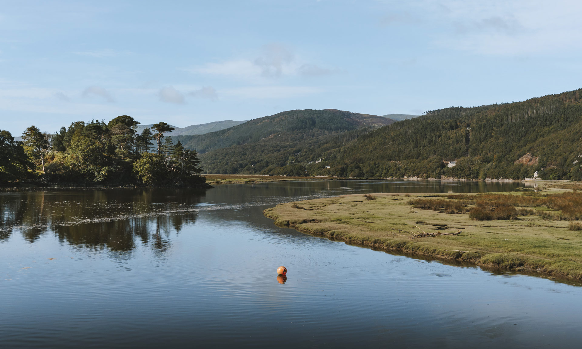
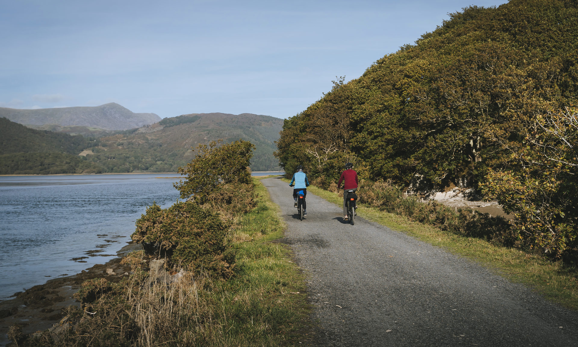
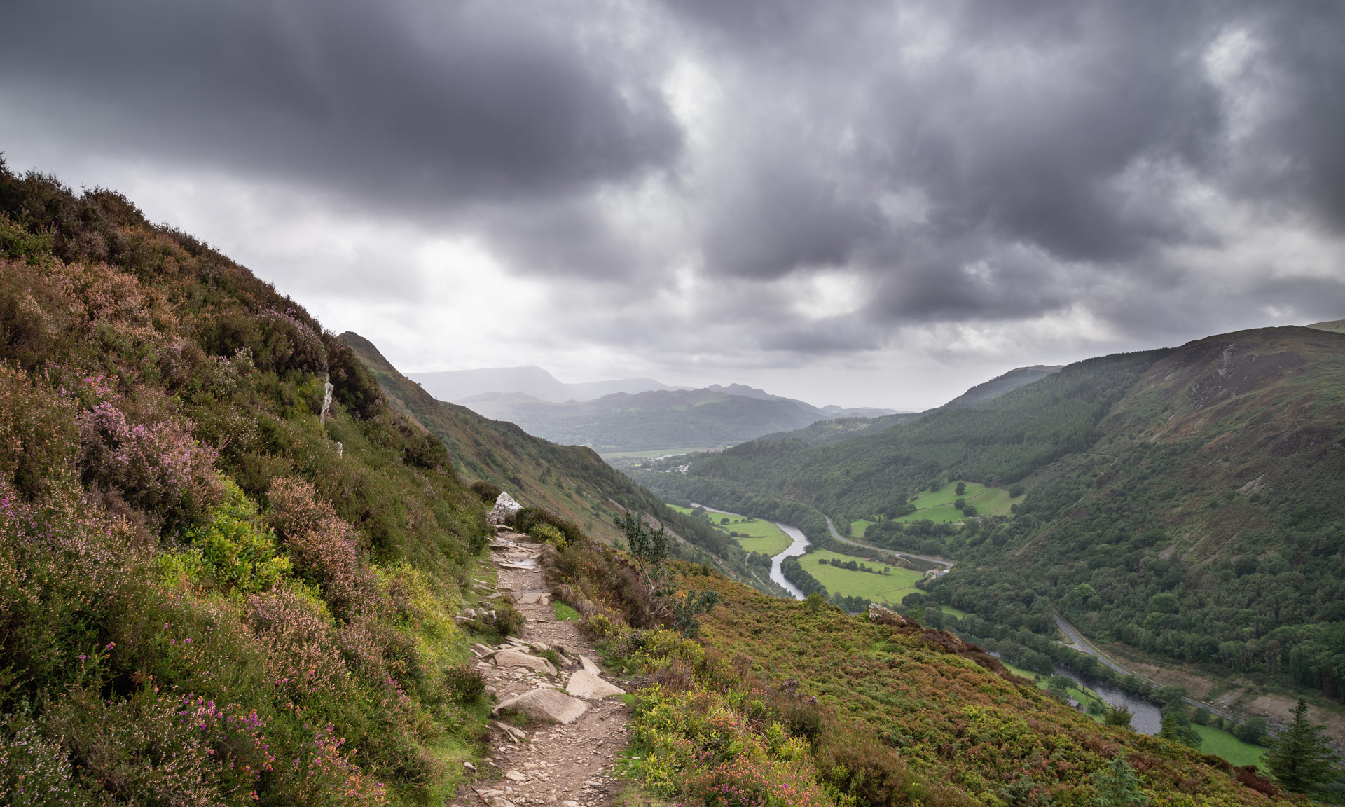
A view of the Mawddach Estuary on a clear spring day with woodland lining the shores.
Dewiswch eich iaith
Please select your language preference
Hoffwn weld y wefan yn Gymraeg
Parhau yn y Gymraeg
Gallwch newid iaith unrhyw bryd
I would like to view the website in English
Continue in English
You can switch language anytime
The best way to experience what makes Eryri so special is to explore the miles of paths and walks all across the landscape.

The National Park Authority has 1,497 miles of approved paths that provide the best opportunities to fully immerse yourself in some of Eryri’s unique qualities.

Walking in Eryri has many other benefits, including improving our physical health and mental well-being.

Make sure you familiarise yourself with the various types of paths before starting your journey by reading information on Route Grading.

Filter results
Location
Difficulty
Duration
Surroundings
Route type
Special Qualities
Accessible routes
Lôn Gwyrfai Image
Lôn Gwyrfai
Easy
One way 7 km 3 Hrs
One of the National Park's most versatile routes stretching between Beddgelert and Rhyd Ddu.
Mawddach Trail Image
Mawddach Trail
Access for All
One way 15 km 6 Hrs
One of Snowdonia National Park's most flexible and accessible trails.
Miners’ Track Image
Miners’ Track
Hard/Strenuous
There and back again 13 km 6 Hrs
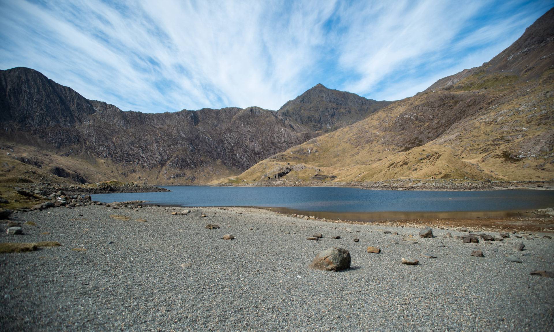
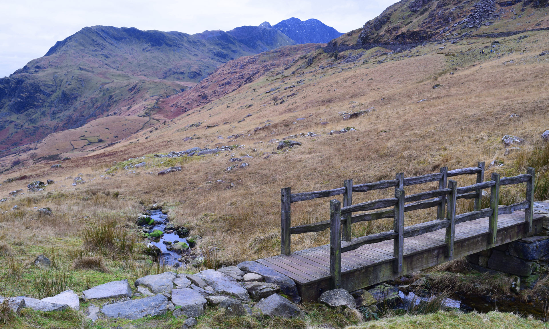
A steep and rocky route to the summit of Yr Wyddfa (Snowdon) beginning from Pen y Pass.
Minffordd Path Image
Minffordd Path
Hard/Strenuous
There and back again 9 km 6 Hrs
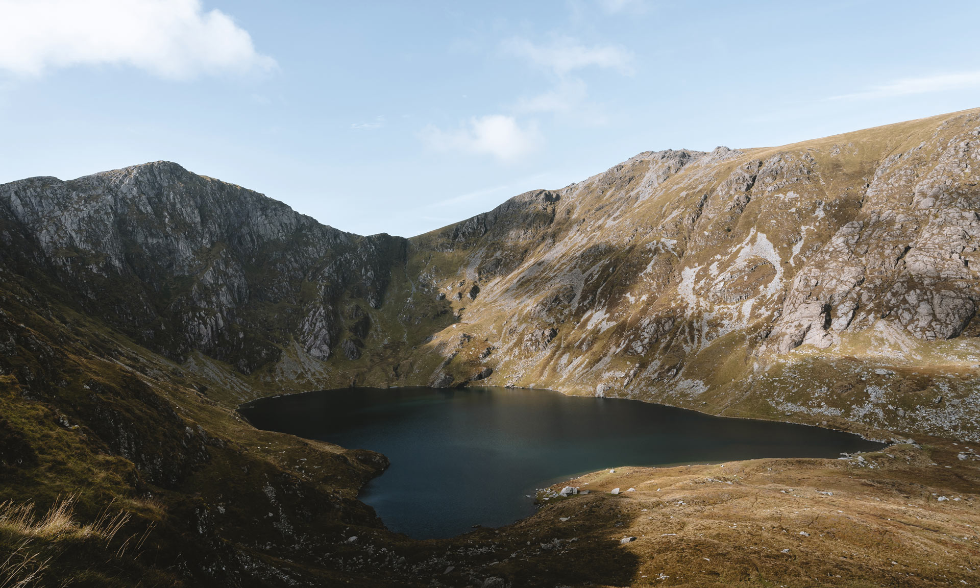
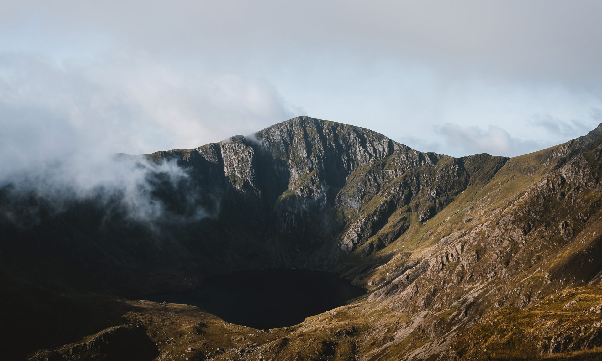
One of two paths up the southern slopes of Cader Idris.
Panorama Walk Image
Panorama Walk
Hard/Strenuous
Circular route 6.5 km 1 Hr
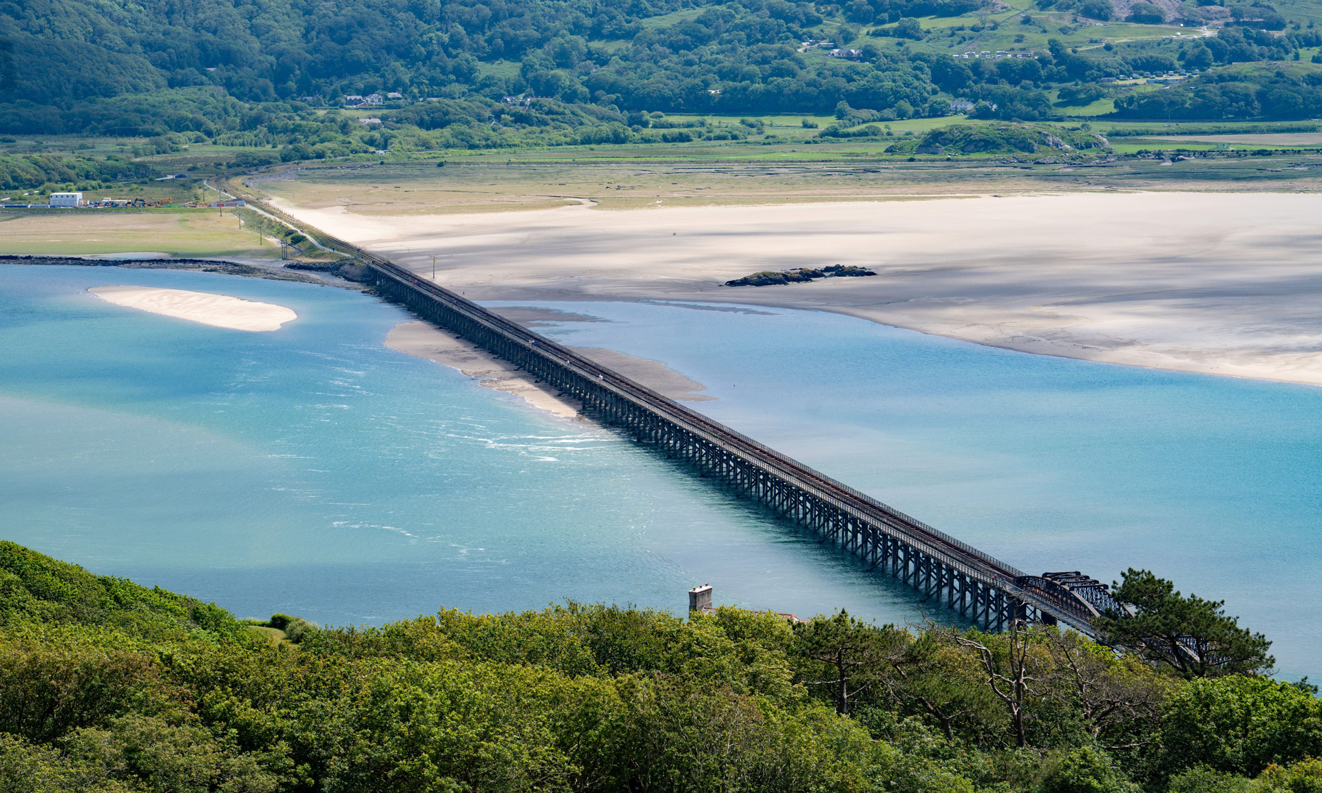
One of the many rich and varied walks situated along the Mawddach Estuary.
Pen y Gwryd to Pen y Pass Image
Pen y Gwryd to Pen y Pass
Hard/Strenuous
There and back again 2 km 1 Hr
A short yet challenging hike connecting Pen y Gwryd and Pen y Pass.
Pony Path (Tŷ Nant) Image
Pony Path (Tŷ Nant)
Hard/Strenuous
There and back again 10 km 5 Hrs
One of the main paths up to Cader Idris' summit.
Precipice Walk Image
Precipice Walk
Moderate
Circular route 5 km 2 Hrs
A circular walk through the historical Nannau estate and along the shore of Llyn Cynwch.
Pyg Track Image
Pyg Track
Hard/Strenuous
There and back again 11 km 6 Hrs
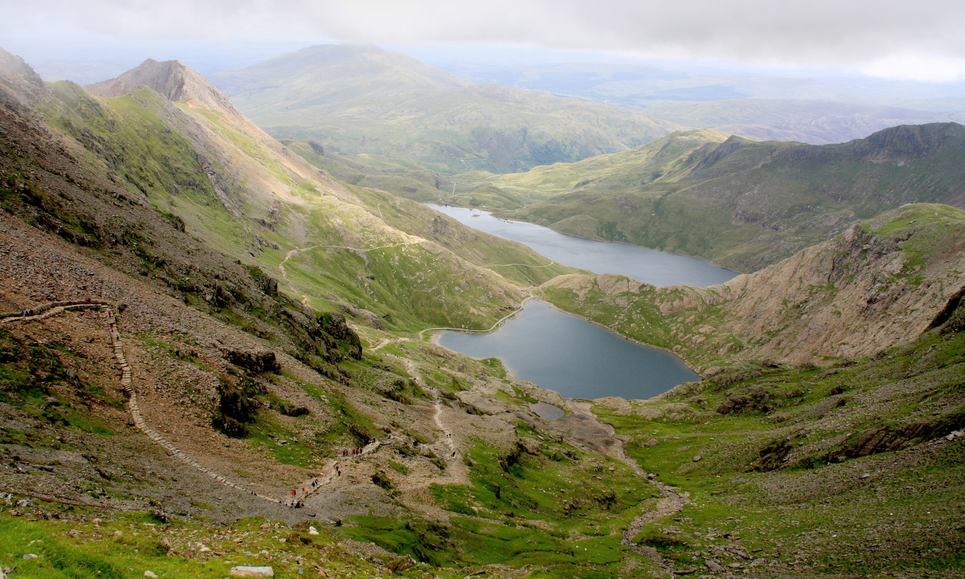
One of two routes starting from Pen y Pass, the Pyg Track is a rocky and difficult path with several steep climbs.
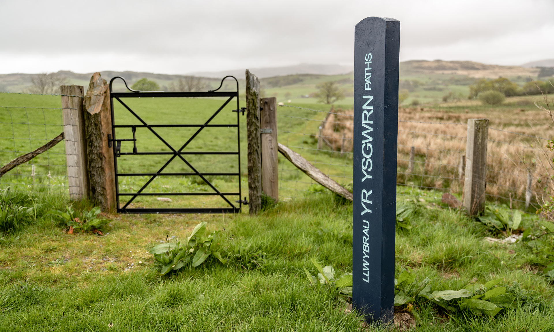
Rhos Grwm, Yr Ysgwrn Image
Rhos Grwm, Yr Ysgwrn
Easy
Circular route 1 km 0.5 Hrs
A short route across the farmland of Yr Ysgwrn.
Rhyd Ddu Path Image
Rhyd Ddu Path
Hard/Strenuous
There and back again 12 km 6 Hrs
A route to the summit of Yr Wyddfa (Snowdon) beginning at the small village of Rhyd Ddu.
Snowdon Ranger Image
Snowdon Ranger
Hard/Strenuous
There and back again 13 km 6 Hrs
One of the earliest routes to the summit of Yr Wyddfa (Snowdon).
Map View
This site is registered on wpml.org as a development site.