

A short yet challenging hike connecting Pen y Gwryd and Pen y Pass
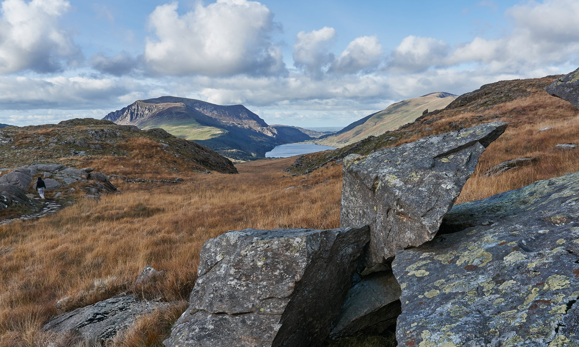
Pen y Gwryd is a pass on the southern foothills of Yr Wyddfa (Snowdon) that leads down towards Nant Gwynant. It is where the towering hills of Yr Wyddfa descend dramatically into the valley below, and winding roads meander and skirt their way through the craggy cliffs.
Why this path?
The path is an open access trail created specifically to connect Pen y Pass and the car parking at Pen y Gwryd. Using this 1km route is much safer than walking along the A4086, making it a good option if you’re hiking up Yr Wyddfa from Pen y Gwryd car parking.
It can also be an excellent option for those looking for a challenging yet short hike in the Yr Wyddfa area.
Yr Wyddfa Ground Conditions Reports
Yr Wyddfa Ground Conditions Reports are now available on the Yr Wyddfa Live website.


© Crown copyright and database rights OS AC0000825604. Use of this data is subject to terms and conditions.
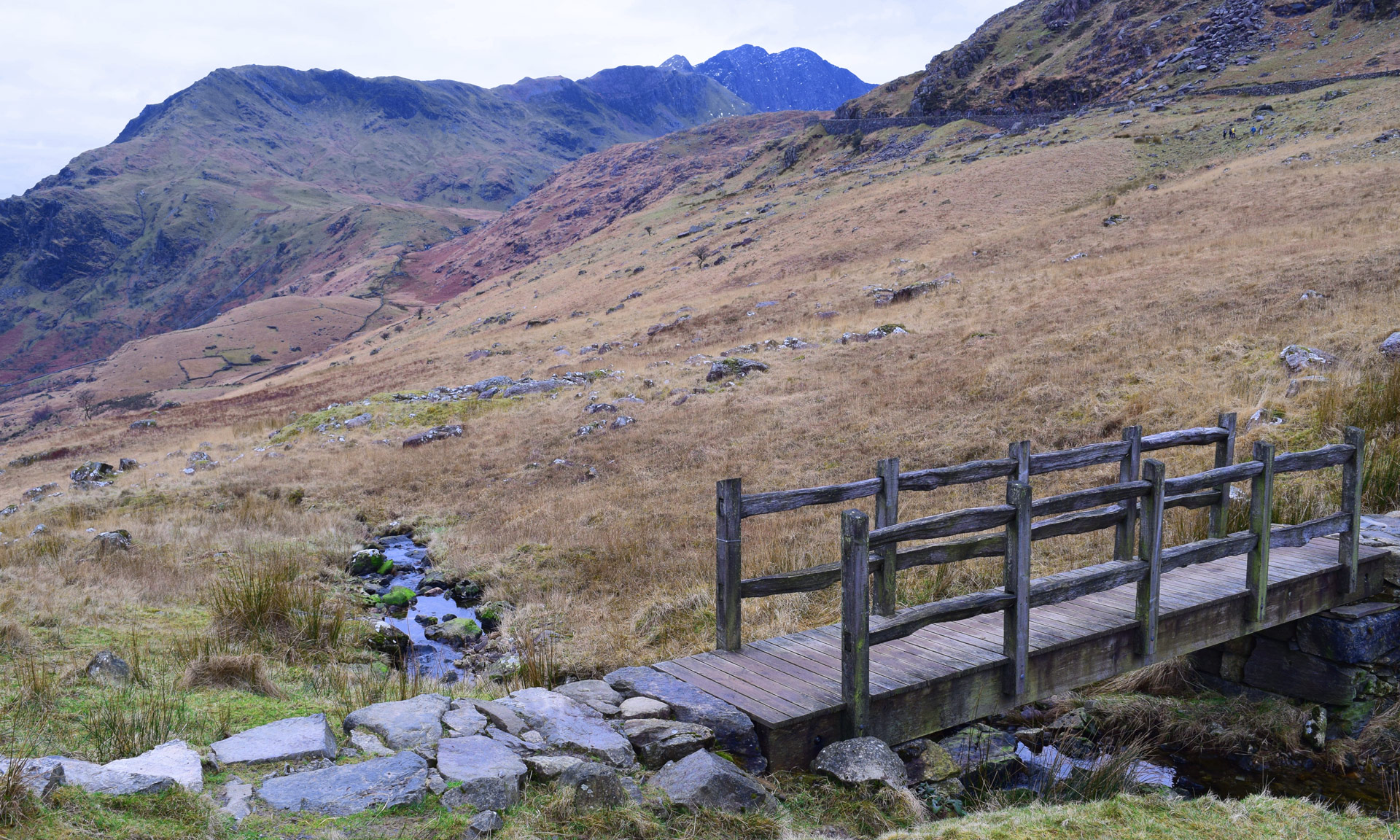
Eryri National Park Authority has categorised this route as a hard/strenuous route. It is only suitable for experienced country walkers with a good level of fitness. Navigation skills are essential. The terrain will include steep hills and rough country. It may also include some sections of scrambling. Full hill walking gear is essential. Specialist equipment may be required under winter conditions.
Start
Pen y Gwryd off the A498 (SH659556)
Finish
Pen y Pass Car Park, off the A4086 (SH647557)
Relevant OS Map
OS Explorer OL17 (Yr Wyddfa & the Conwy Valley)
Always park in designated parking places and never in areas where you block entrances to fields or residential areas.
Designated lay-by near Pen y Gwryd (Pay and Display)
Yr Wyddfa Ground Conditions Reports are now available on the Yr Wyddfa Live website.
Stay safe and help protect the countryside by reading the information about safety and following the Countryside Code.
Pen y Gwryd Hotel
The Pen y Gwryd Hotel stands at the head of the pass and is famous for hosting a roster of mountaineers who visited Eryri to take part in training expeditions.
Amongst the most notable mountaineers to stay at the hotel are those who were part of the first successful Everest expedition in 1953. The team’s signatures can be seen on the hotel’s dining room ceiling, including Sir Edmund Hillary and Tenzing Norgay.
Pen y Gwryd Hotel, originally a farmhouse dating back to 1811, continues to welcome many mountaineers to the area. Its walls are adorned with photos and memorabilia of its mountaineering links, making it almost a museum of Eryri’s vast mountaineering history.
Pen y Pass
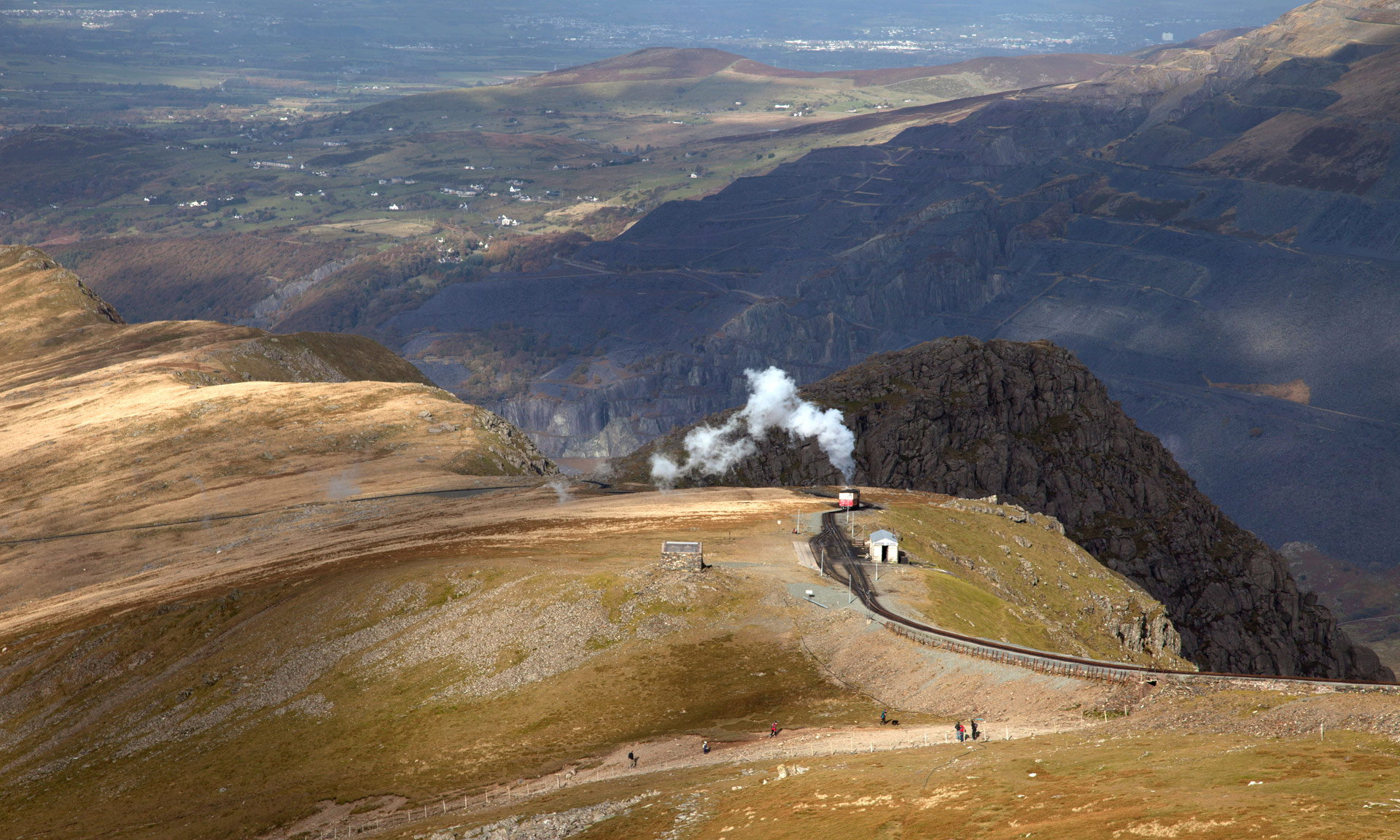
Pen y Pass translates to the ‘head of the pass’ or the ‘end of the pass’ and is the highest point of the Llanberis Pass, which runs between the Glyder and Yr Wyddfa mountain ranges.
Two of the six main routes to the summit of Yr Wyddfa start at Pen y Pass, making it one of the National Park’s most popular areas.
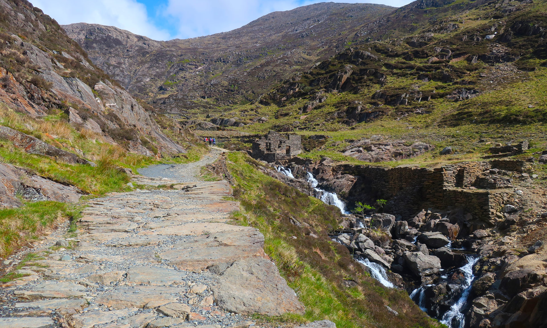
Llanberis Pass was built in the 1830s to allow ore from the mines of Yr Wyddfa mines to be transported to Llanberis. Miners would have carried the ore down the Miners’ Track to Pen y Pass, where it would later be transported to Llanberis.